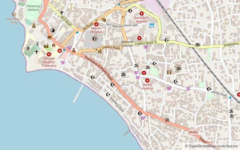
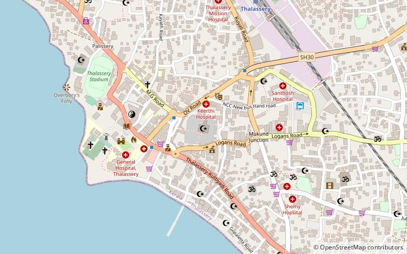
Kannur South, Thalassery

Map
Facts and practical information
Kannur South or Chovva or Thottada is a heart of Kannur and also a residential suburb in Kannur District of Kerala, India, which mainly consists of two areas - Thazhe Chovva and Mele Chovva. The National Highway 66 runs through both Thazhechovva and Melechovva. The name Chovva is believed to be derived from the Malayalam word "Chovvu" meaning propriety. Mele and Thazhe are Upper and Lower respectively, indicating that Mele Chovva is relatively at higher altitude compared with Thazhe chovva ()
Coordinates: 11°44'46"N, 75°29'31"E
Address
Thalassery
ContactAdd
Social media
Add
Day trips
Kannur South – popular in the area (distance from the attraction)
Nearby attractions include: Thalassery Fort, Overbury's Folly, Thiruvangad Sree Ramaswami Temple, Jagannath Temple.
Frequently Asked Questions (FAQ)
Which popular attractions are close to Kannur South?
Nearby attractions include Sree Sundareswara Temple, Thalassery (1 min walk), Sri Lakshmi Narasimha Temple, Thalassery (1 min walk), Thalassery Pier, Thalassery (6 min walk), Odathil Palli, Thalassery (6 min walk).
How to get to Kannur South by public transport?
The nearest stations to Kannur South:
Train
Bus
Train
- Thalassery (14 min walk)
- Jagannath Temple Gate (32 min walk)
Bus
- Kerala State Road Transport Bus Depot Thalasserry (32 min walk)
- Ksrtc Depot, Thalassery (32 min walk)


