Buckingham Canal, Chennai
Map

Gallery

Facts and practical information
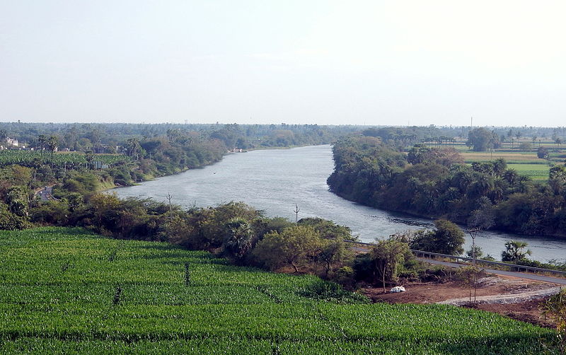
The Buckingham Canal is a 796 kilometres long fresh water navigation canal, that parallels the Coromandel Coast of South India from Kakinada City in the East Godavari district of Andhra Pradesh to Viluppuram District in Tamil Nadu. The canal connects most of the natural backwaters along the coast to Chennai port. ()
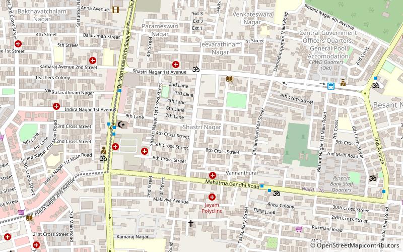
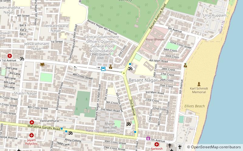
Coordinates: 12°59'6"N, 80°15'10"E
Address
Adyar (Thiruvanmiyur West)Chennai
ContactAdd
Social media
Add
Day trips
Buckingham Canal – popular in the area (distance from the attraction)
Nearby attractions include: Marundeeswarar Temple, TIDEL Park, Ashtalakshmi Temple, Tholkappia Poonga.
Frequently Asked Questions (FAQ)
Which popular attractions are close to Buckingham Canal?
Nearby attractions include TIDEL Park, Chennai (11 min walk), International Tech Park, Chennai (12 min walk), Marundeeswarar Temple, Chennai (15 min walk), Thiruvanmiyur, Chennai (21 min walk).
How to get to Buckingham Canal by public transport?
The nearest stations to Buckingham Canal:
Bus
Light rail
Bus
- National Institute of Fashion Technology • Lines: M1, M70, Route M70 (2 min walk)
- Spastic Society • Lines: 5C (5 min walk)
Light rail
- Indira Nagar • Lines: 1 (22 min walk)
- Taramani • Lines: 1 (23 min walk)


