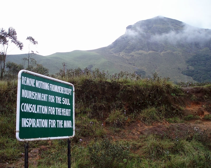
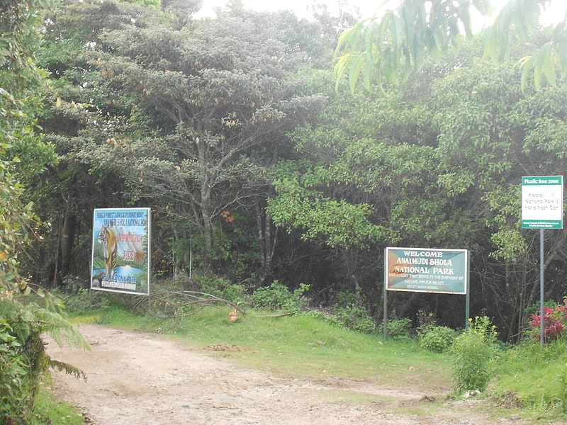
Eravikulam National Park, Munnar

Gallery (1)
Map
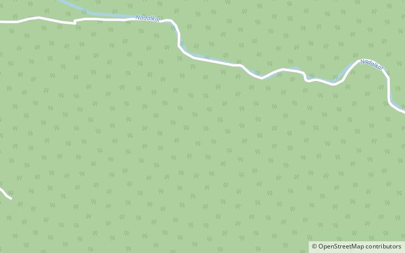
Map
Facts and practical information
Eravikulam National Park is a place located in Munnar (Kerala state) and belongs to the category of sightseeing.
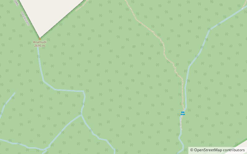
It is situated at an altitude of 3993 feet, and its geographical coordinates are 10°11'54"N latitude and 77°0'32"E longitude.
Among other places and attractions worth visiting in the area are: Anamudi, Western Ghats (nature, 104 min walk), Anaimalai Hills, Western Ghats (nature, 106 min walk), South Western Ghats montane rain forests (area, 115 min walk).
Coordinates: 10°11'54"N, 77°0'32"E
Day trips