Kamandurg Fort, Thane

Map
Facts and practical information
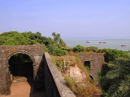
Kamandurg Fort, Maharashtra, lies on Vasai-Bhiwandi Road in India. Not much is known about the fort. It can be reached by foot in approximately 3 hours from the nearby village of Devkundi. ()
Coordinates: 19°22'57"N, 72°57'23"E
Address
Thane
ContactAdd
Social media
Add
Day trips
Kamandurg Fort – popular in the area (distance from the attraction)
Nearby attractions include: Vasai Creek.
