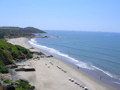
Baga Creek, Calangute
Map
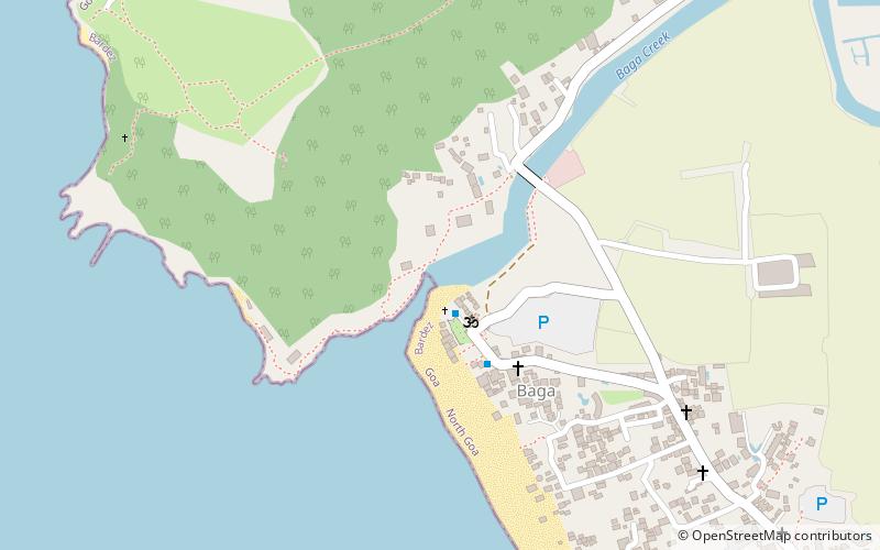
Map

Facts and practical information
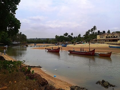
Baga Creek is a tidal estuary in the state of Goa, India located near the town of Baga at 15°33′48″N 73°44′55″E. ()
Local name: बागा नदिकाCoordinates: 15°33'48"N, 73°44'55"E
Address
Calangute
ContactAdd
Social media
Add
Day trips
Baga Creek – popular in the area (distance from the attraction)
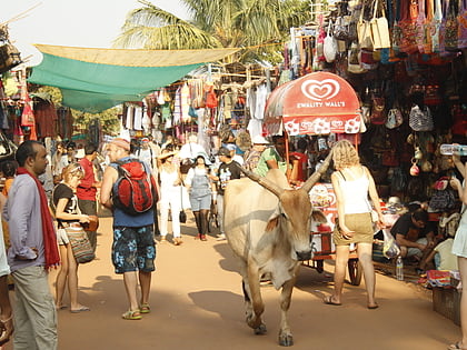
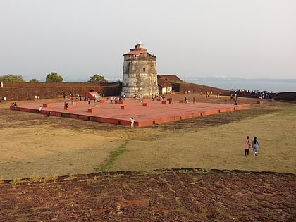
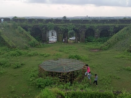
Nearby attractions include: Mapusa Friday Market, Fort Aguada, Chapora Fort, Hanuman Natya Graha.
Frequently Asked Questions (FAQ)
Which popular attractions are close to Baga Creek?
Nearby attractions include Baga Beach, Baga (9 min walk), Snow Park Goa, Baga (16 min walk).
