Laxmi Nagar, Delhi
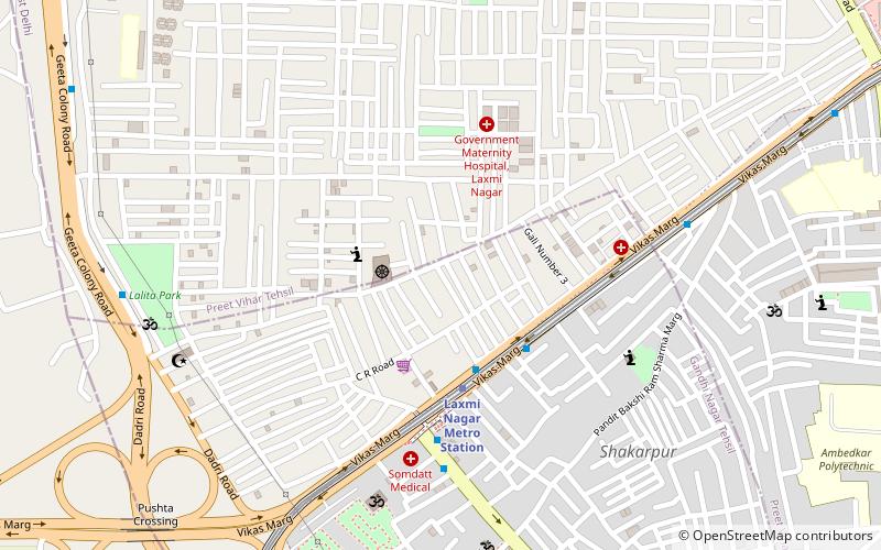
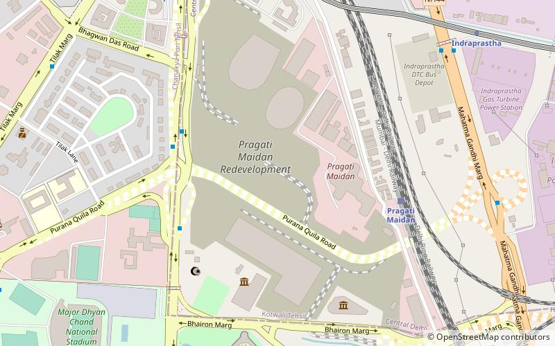
Map
Facts and practical information
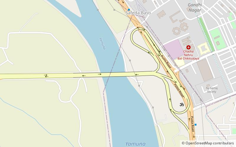
Laxmi Nagar, is the central location and focal point for east Delhi area. Earlier, it was one of the most inhabited cities, known as Trans Yam ()
Local name: लक्ष्मी नगरCoordinates: 28°37'57"N, 77°16'38"E
Address
East Delhi (Laxmi Nagar)Delhi
ContactAdd
Social media
Add
Day trips
Laxmi Nagar – popular in the area (distance from the attraction)
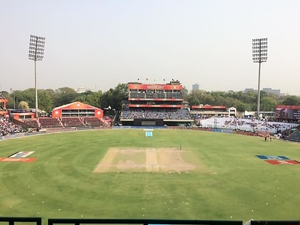
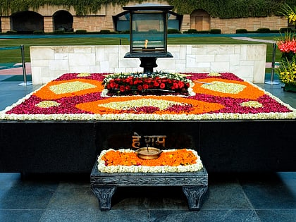
Nearby attractions include: Swaminarayan Akshardham, Arun Jaitley Stadium, Veer Bhumi, Appu Ghar.
Frequently Asked Questions (FAQ)
How to get to Laxmi Nagar by public transport?
The nearest stations to Laxmi Nagar:
Metro
Bus
Train
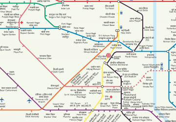
Metro
- Laxmi Nagar • Lines: Blue Line (4 min walk)
- Nirman Vihar • Lines: Blue Line (17 min walk)
Bus
- Laxmi Nagar • Lines: (-) Oms, (-) Yms, (+) Oms, 118Ext, 307, 309, 336A, 347, 348, 349, 378, 390, 391, 418A, 469, 473, 623, 624A, 73, 740, 740A, 740B, 740Ex, 740Ext, 85, 85Ext, F-253A (4 min walk)
- Shakarpur School Block, S-1 • Lines: (-) Oms, 118, 118Ext, 307, 307A, 309, 347, 348, 349, 378, 391, 469, 473, 624A, 740, 740A, 740B, 740Ex, 740Ext, 85, 85Ext, F-253A (6 min walk)
Train
- Mandawli Chandra Vihar (19 min walk)
 Metro
Metro
