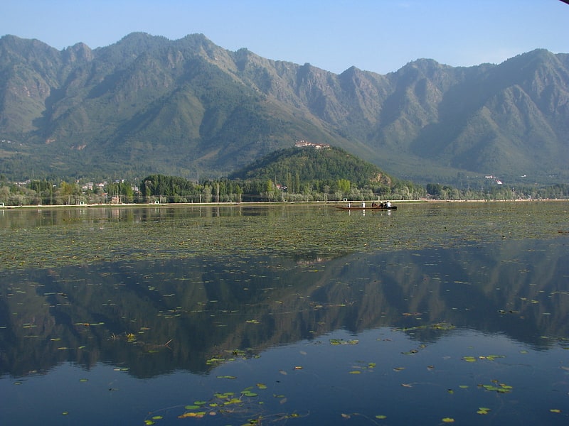
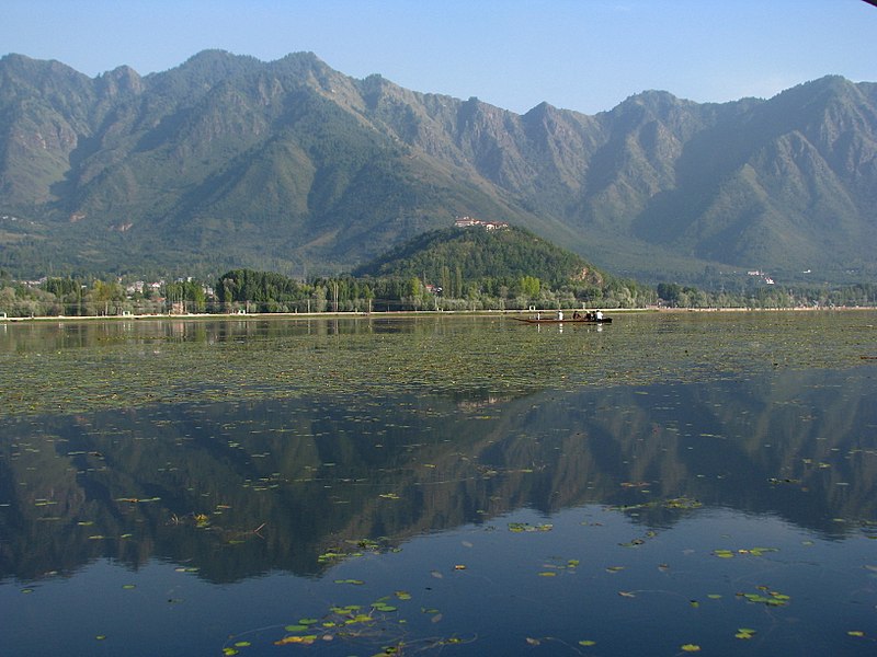
Zabarwan Range, Dachigam National Park
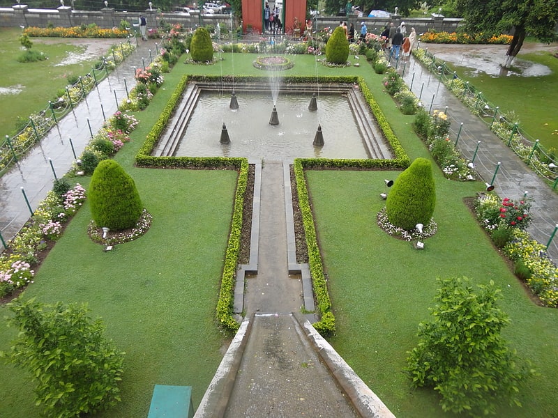
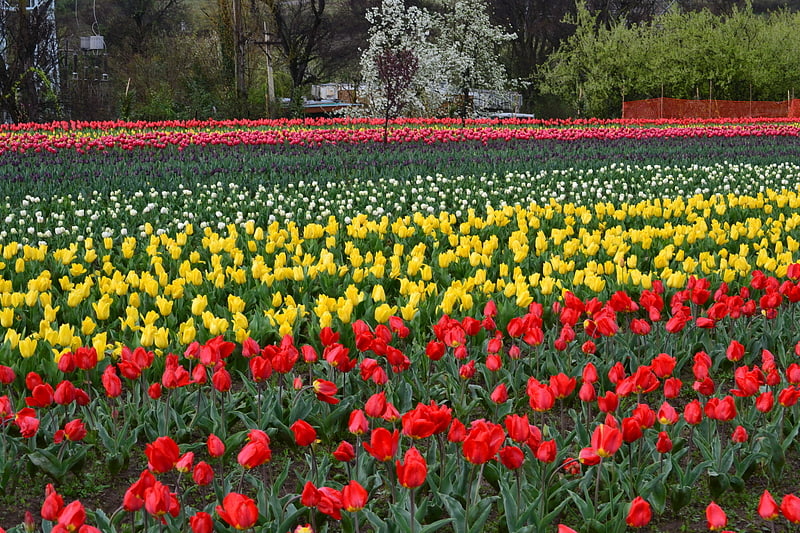
Gallery (3)
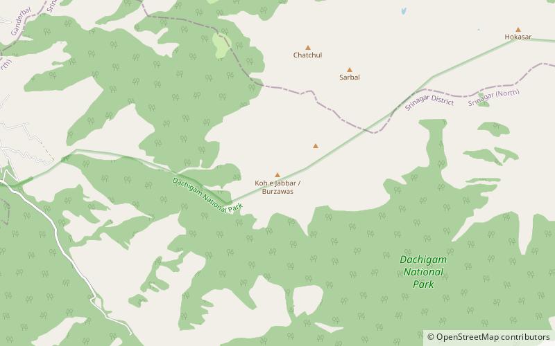
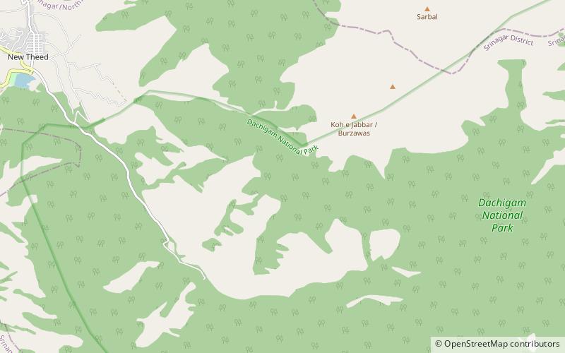
Map
Map
Gallery
Facts and practical information
The Zabarwan Range is a short sub-mountain range between Pir Panjal and Great Himalayan Range in the central part of the Kashmir Valley in the Union Territory of Jammu and Kashmir in India. ()
Maximum elevation: 13013 ftElevation: 13013 ftCoordinates: 34°8'24"N, 74°58'12"E
Address
Dachigam National Park
ContactAdd
Social media
Add
Day trips