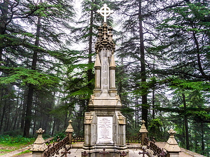
Indrahar Pass, Dharamsala
Map
Map

Facts and practical information
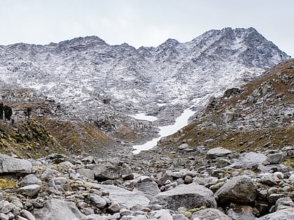
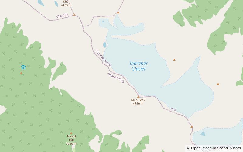
Indrahar Pass is a mountain pass in the Dhauladhar range of the Himalayas. Located at 32°17.852′N 76°22.872′E and an altitude of 4,342 metres above mean sea level, near the tourist town of Dharamshala in Himachal Pradesh, Indrahar pass forms the border between Kangra and Chamba districts. It is part of a very popular trekking route from Dharamshala. It attracts substantial tourist traffic during the trekking season between April – October. ()
Coordinates: 32°17'51"N, 76°22'52"E
Address
Dharamsala
ContactAdd
Social media
Add
Day trips
Indrahar Pass – popular in the area (distance from the attraction)
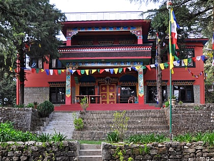
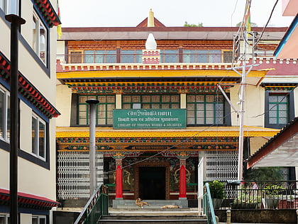
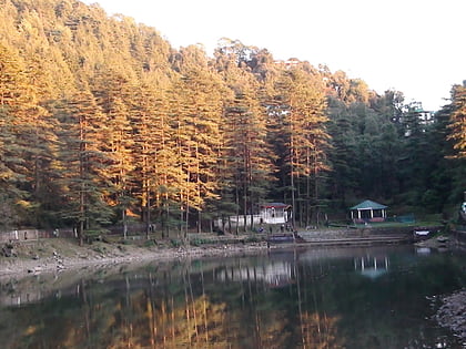
Nearby attractions include: Tushita Meditation Centre, Library of Tibetan Works and Archives, Dal Lake, The Hillside Mall.
