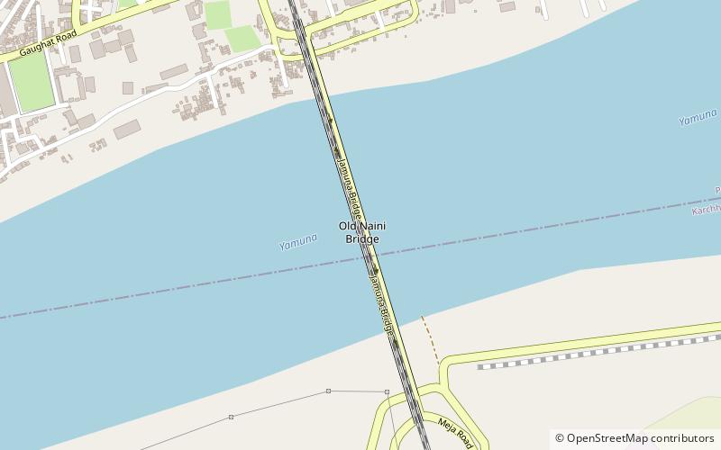
Old Naini Bridge, Allahabad
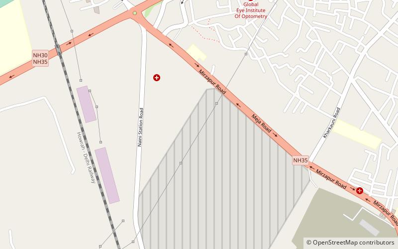
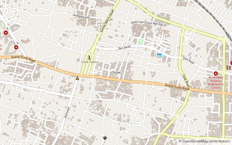
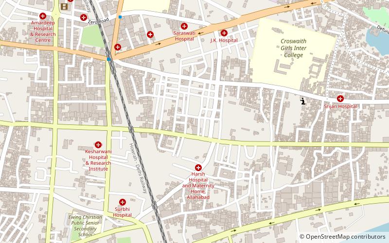
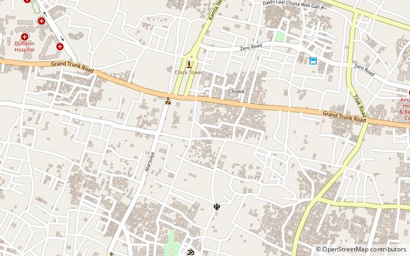
Map
Facts and practical information
The Old Naini Bridge is one of the longest and oldest bridges in India, located in Prayagraj. It is a double-decked steel truss bridge which runs across the Yamuna river in the southern part of the city. The bridge runs north-south across the Yamuna river connecting the city of Prayagraj to the neighbouring area of Naini. Its upper deck has a two lane railway line which connects Naini Junction railway station to Allahabad Junction railway station, while the lower deck has successfully been facilitating roadway services since 1927. ()
Completed: 1865 (161 years ago)Length: 3301 ftCoordinates: 25°25'26"N, 81°51'1"E
Address
Allahabad
ContactAdd
Social media
Add
Getting there by public transportation
Public transportation stops near this location
- Bus
- Train
 Bus
Bus
- Calculate routeAllahabad City 28 min walk
- Calculate routeZero Road Bus Stand 32 min walk
Day trips


Frequently Asked Questions (FAQ)
Which popular attractions are close to Old Naini Bridge?
Nearby attractions include Bai-Ka-Bagh, Allahabad (17 min walk), Sam Higginbottom University of Agriculture, Allahabad (19 min walk), Shepherd School of Engineering and Technology, Allahabad (21 min walk), Public, Allahabad (22 min walk).
How to get to Old Naini Bridge by public transport?
The nearest stations to Old Naini Bridge:
Train
Bus
Train
- Allahabad City (28 min walk)
Bus
- Zero Road Bus Stand (32 min walk)