Mahanadi Vihar, Cuttack
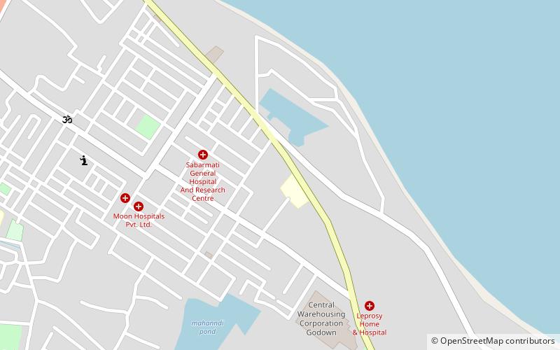
Map
Facts and practical information
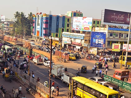
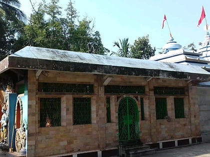
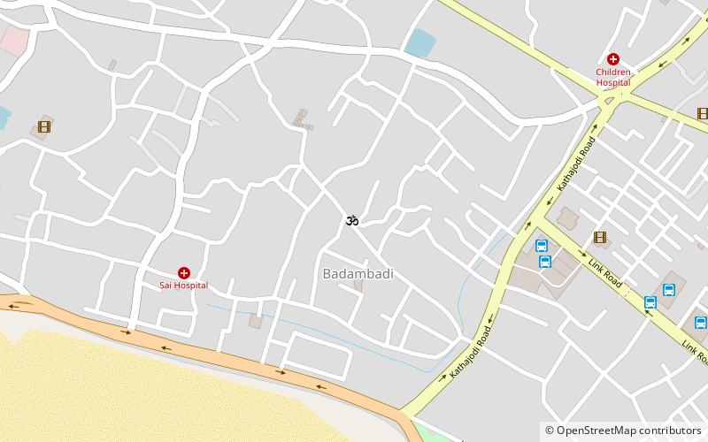
Mahanadi Vihar is a residential area in Cuttack, Orissa, India. It is situated in a tongue of land formed by the Mahanadi River and National Highway 16. The area is named after the river and comes under the control of the CDA. Schools, a college, hospitals, temples, parks, playgrounds, markets and banks can be found there and Dussera and Puja take place there. ()
Coordinates: 20°27'53"N, 85°54'55"E
Address
Cuttack
ContactAdd
Social media
Add
Day trips
Mahanadi Vihar – popular in the area (distance from the attraction)
Nearby attractions include: Link Road, Barabati fort, Netaji Subhas Chandra Bose Setu, Cuttack Chandi Temple.
Frequently Asked Questions (FAQ)
How to get to Mahanadi Vihar by public transport?
The nearest stations to Mahanadi Vihar:
Train
Train
- Cuttack Junction (25 min walk)
