Manek Burj, Ahmedabad
Map

Map

Facts and practical information
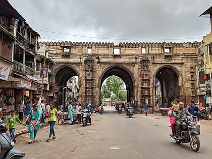
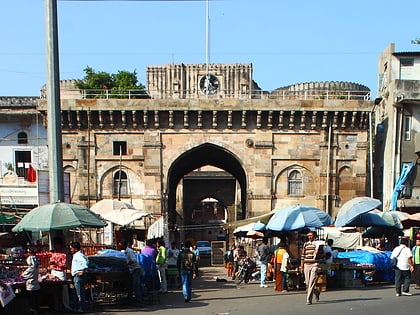
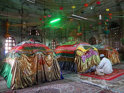
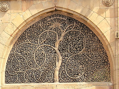
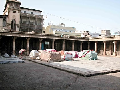
Manek Burj, also spelled Manek Buraj is the foundation bastion of Bhadra Fort in the old city of Ahmedabad, Gujarat, India. The Burj is associated with legendary saint Maneknath. ()
Coordinates: 23°1'20"N, 72°34'39"E
Address
At the east end of Ellis BridgeAhmedabad
ContactAdd
Social media
Add
Day trips
Manek Burj – popular in the area (distance from the attraction)
Nearby attractions include: Sanskar Kendra, Jama Masjid, Tagore Hall, Ahmedabad Town Hall.
Frequently Asked Questions (FAQ)
Which popular attractions are close to Manek Burj?
Nearby attractions include Ellis Bridge, Ahmedabad (3 min walk), Ahmed Shah's Mosque, Ahmedabad (3 min walk), Bhadra Fort, Ahmedabad (8 min walk), Nehru Bridge, Ahmedabad (10 min walk).
How to get to Manek Burj by public transport?
The nearest stations to Manek Burj:
Bus
Train
Bus
- Lal Darwaja AMTS Bus Stop (5 min walk)
- Paldi Bus Stand (26 min walk)
Train
- Gandhigram (16 min walk)

