Sakchi, Jamshedpur
Map
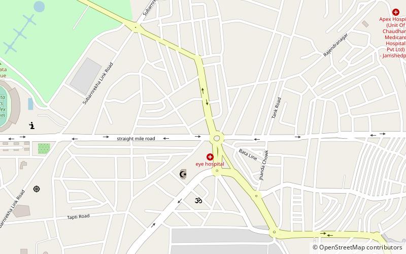
Map

Facts and practical information
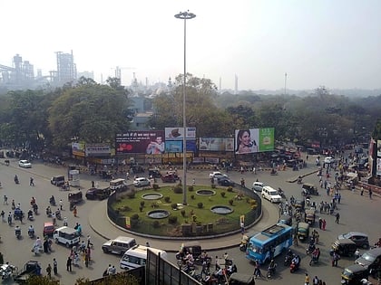
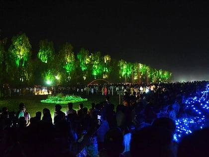
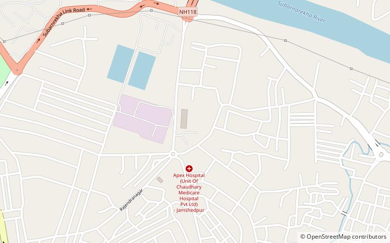
Sakchi was the village in north eastern India territory of Singhbhum which was selected by Jamsetji Tata to be the location of a planned steel city, which in 1919 became Jamshedpur. Sakchi is now part of the city between the Tata Steel site and the river Subarnarekha. Then it was known as Kalimati. Due to the presence of iron ore, river water and sand, Jamsetji Tata decided to establish TISCO there. The company is now known as Tata Steel Ltd. ()
Coordinates: 22°48'19"N, 86°12'8"E
Address
Jamshedpur
ContactAdd
Social media
Add
Day trips
Sakchi – popular in the area (distance from the attraction)
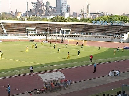
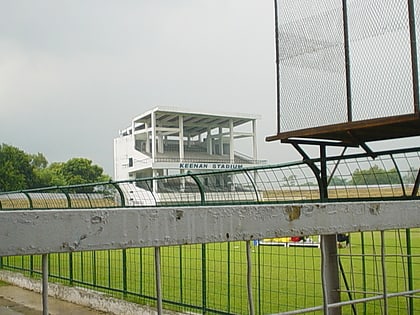
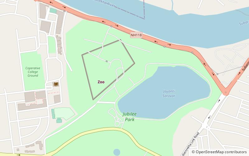
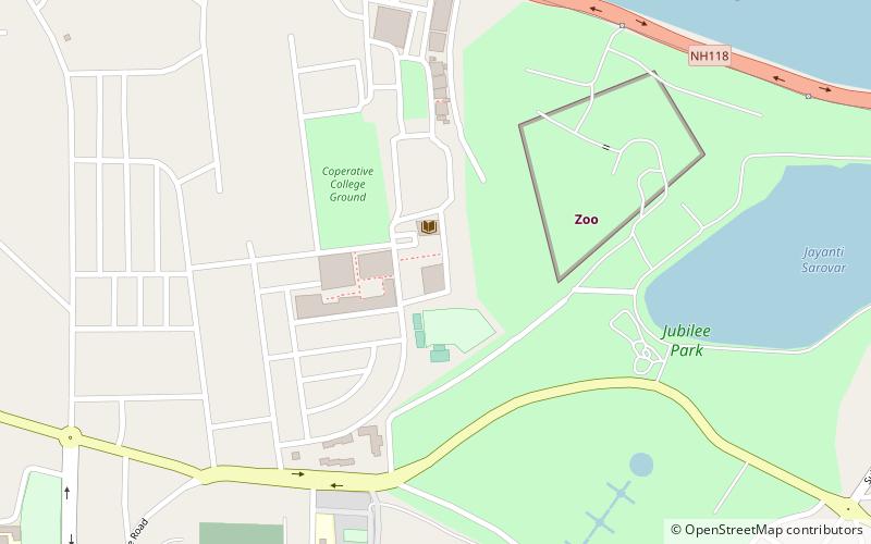
Nearby attractions include: JRD Tata Sports Complex, Keenan Stadium, Tata Steel Zoological Park, Jubilee Park.
Frequently Asked Questions (FAQ)
Which popular attractions are close to Sakchi?
Nearby attractions include Jubilee Park, Jamshedpur (17 min walk), Mahatma Gandhi Memorial Medical College, Jamshedpur (18 min walk), Tata Steel Zoological Park, Jamshedpur (20 min walk), XLRI – Xavier School of Management, Jamshedpur (23 min walk).
