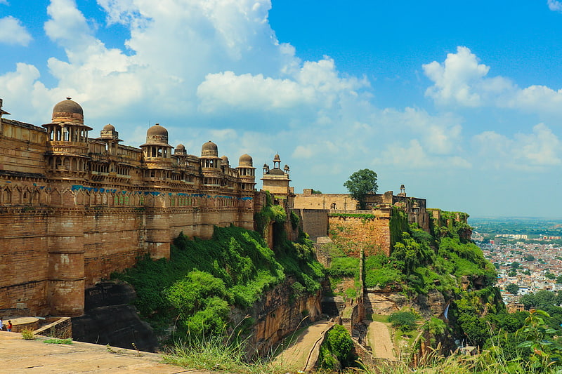
Gwalior division, Gwalior
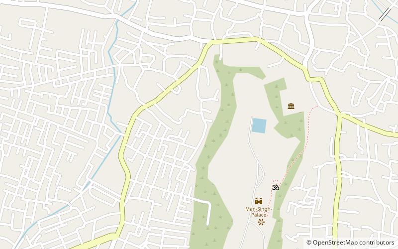
Map
Facts and practical information
Address
Gwalior
ContactAdd
Social media
Add
Getting there by public transportation
Public transportation stops near this location
- Train
 Train
Train
- Calculate routeGwalior 40 min walk
Day trips


Frequently Asked Questions (FAQ)
Which popular attractions are close to Gwalior division?
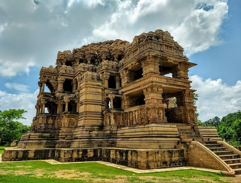
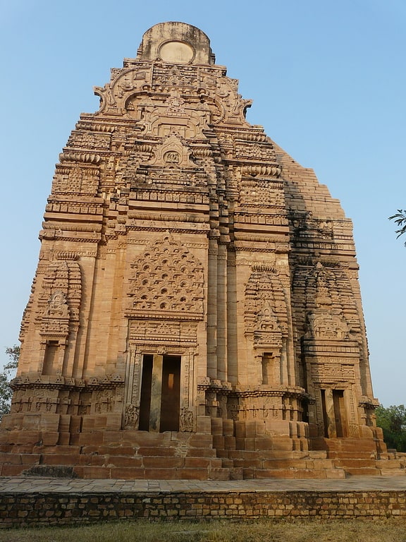
Nearby attractions include Gujari Mahal, Gwalior (7 min walk), Chaturbhuj Temple, Gwalior (7 min walk), Siddhachal Caves, Gwalior (17 min walk), Sasbahu Temple, Gwalior (19 min walk).
How to get to Gwalior division by public transport?
The nearest stations to Gwalior division:
Train
Train
- Gwalior (40 min walk)