Dolphin Lighthouse, Mumbai

Map
Facts and practical information
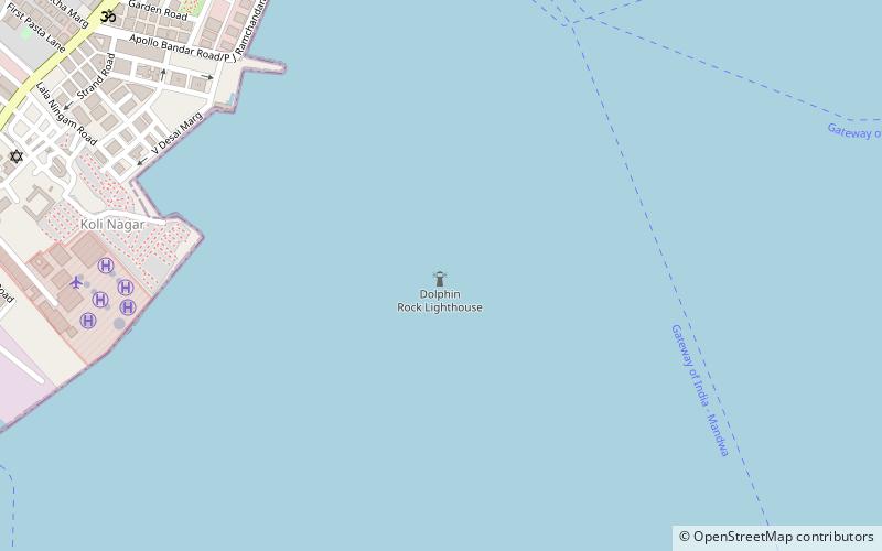
Dolphin Lighthouse is one of the three lighthouses in the Mumbai harbour off the coast of Mumbai, India. It is near the Gateway of India and is controlled by the Indian Navy. ()
Coordinates: 18°54'51"N, 72°50'9"E
Address
Mumbai
ContactAdd
Social media
Add
Day trips
Dolphin Lighthouse – popular in the area (distance from the attraction)
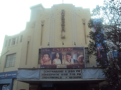
Nearby attractions include: Chhatrapati Shivaji Maharaj Vastu Sangrahalaya, Gateway of India, Wellington Fountain, Regal Cinema.
Frequently Asked Questions (FAQ)
Which popular attractions are close to Dolphin Lighthouse?
Nearby attractions include Gateway of India, Mumbai (14 min walk), Nariman House, Mumbai (15 min walk), Cathedral of the Holy Name, Mumbai (19 min walk), Badhwar Park, Mumbai (19 min walk).
How to get to Dolphin Lighthouse by public transport?
The nearest stations to Dolphin Lighthouse:
Bus
Bus
- BEST Colaba Bus Depot (17 min walk)
- Shyama Prasad Mukherjee Chowk (22 min walk)


