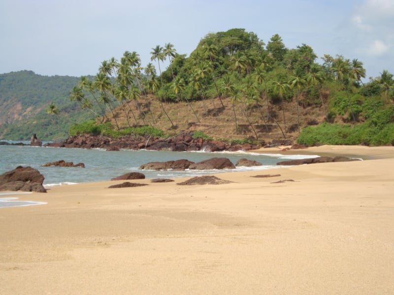
Agonda Beach, Agonda

Gallery (1)
Map

Map
Facts and practical information
Agonda Beach is a place located in Agonda (Goa state) and belongs to the category of beach.
It is situated at an altitude of 13 feet, and its geographical coordinates are 15°2'36"N latitude and 73°59'11"E longitude.
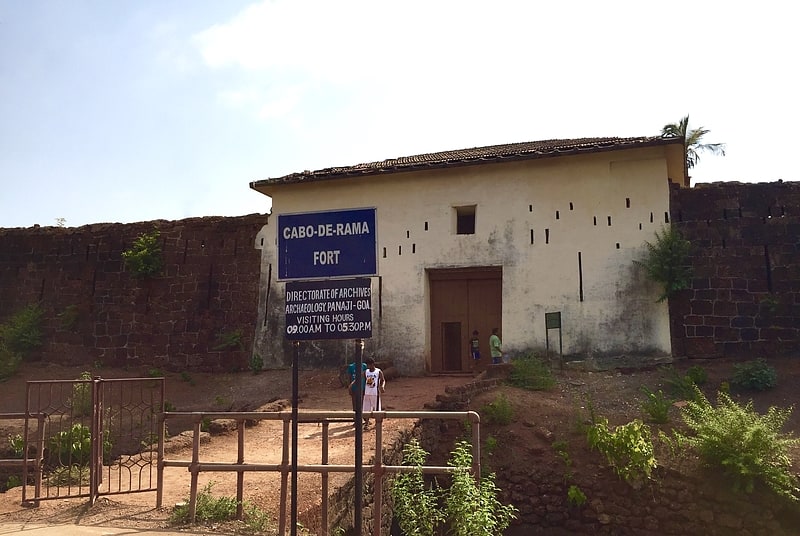
Among other places and attractions worth visiting in the area are: Cola Beach (beach, 39 min walk), Canacona taluk, Palolem (neighbourhood, 71 min walk), Cabo de Rama (forts and castles, 136 min walk).
Coordinates: 15°2'36"N, 73°59'11"E
Address
Agonda
ContactAdd
Social media
Add
Day trips