Dunagiri
Map

Map

Facts and practical information
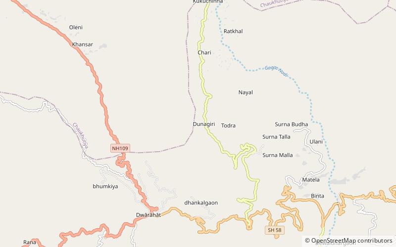
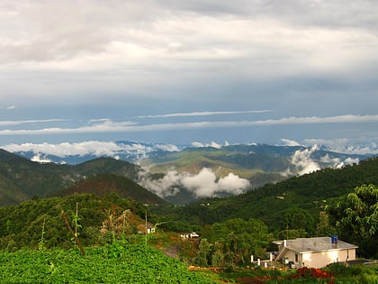
Dunagiri is a historic area in Almora district in the state of Uttarakhand in India. Approximately 400 km from Delhi, a cluster of six small villages forms the place that is variously known as Dunagiri, Drongiri and Doonagiri. 116 such villages combine to form the Development Block of Dwarahat, which falls under the District of Almora. Located at a height of 8,000 feet above sea level, Dunagiri is famous within Kumaon for its temple of Shakti – known here as Dunagiri Devi. ()
Coordinates: 29°48'12"N, 79°26'54"E
Day trips
Dunagiri – popular in the area (distance from the attraction)
Nearby attractions include: Dwarahat.

