Gulmohar Park, Delhi
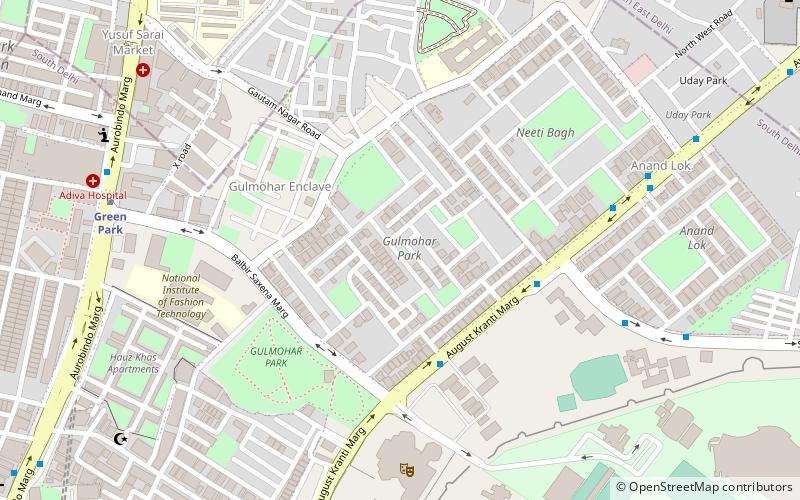
Map
Facts and practical information
Gulmohar Park is a neighbourhood in South Delhi. This park lies between Hauz Khas and Gautam Nagar and is named after the red-flowered Gulmohar trees growing inside. The nearby residential colony is known as Gulmohar Park Journalists' Colony or simply Gulmohar Park for short, and was established by a group of journalists in the 1970s and is today home to business people, senior lawyers and cine star Amitabh Bachchan's Delhi residence. ()
Elevation: 722 ft a.s.l.Coordinates: 28°33'26"N, 77°12'47"E
Address
South Delhi (Sewa Nagar)Delhi
ContactAdd
Social media
Add
Getting there by public transportation
Public transportation stops near this location
- Metro
- Bus
 Metro
Metro
- Calculate routeKamla Nehru College 5 min walk
- Calculate routeNiti Bagh 8 min walk
- Calculate routeAnand Lok 9 min walk
- Calculate routeGargi College 9 min walk
- Calculate routeGreen Park 10 min walk
- Calculate routeAll India Institute of Medical Sciences 19 min walk
- Calculate routeSouth Extension 24 min walk
- Calculate routeHauz Khas 26 min walk
Maps Metro
Metro
MetroDay trips


Frequently Asked Questions (FAQ)
Which popular attractions are close to Gulmohar Park?
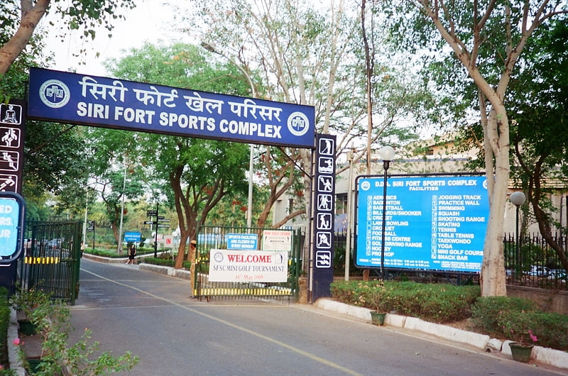
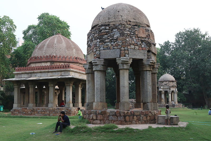
Nearby attractions include Kamala Nehru College, Delhi (6 min walk), Siri Fort Auditorium, Delhi (8 min walk), Jamali Kamali Mosque and Tomb, Delhi (13 min walk), Moth ki Mosque, Delhi (13 min walk).
How to get to Gulmohar Park by public transport?
The nearest stations to Gulmohar Park:
Bus
Metro
Bus
- Kamla Nehru College • Lines: 413, 540, 540A (5 min walk)
- Niti Bagh • Lines: 413, 540, 540A, 544 (8 min walk)
Metro
- Green Park • Lines: Yellow Line (10 min walk)
- All India Institute of Medical Sciences • Lines: Yellow Line (19 min walk)