Indraprastha Park, Delhi
Map
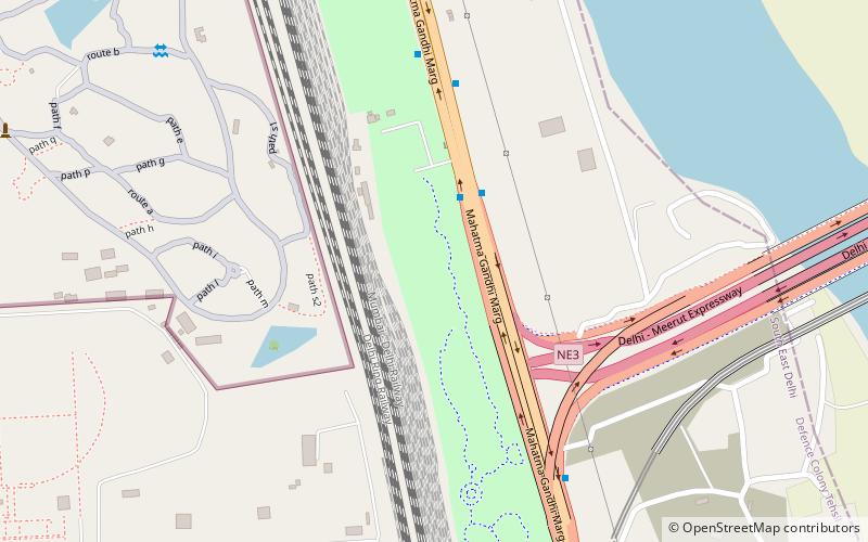
Map

Facts and practical information
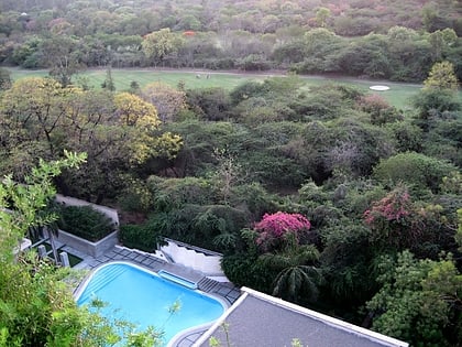
The Millennium Indraprastha Park is a park on the Outer Ring Road in the east of Delhi, India. It was constructed in 2004 by the Delhi Development Authority. The park includes a children's park, an amphitheatre and a food court. ()
Elevation: 686 ft a.s.l.Coordinates: 28°36'0"N, 77°15'14"E
Address
Central Delhi (Nizamuddin)Delhi
ContactAdd
Social media
Add
Day trips
Indraprastha Park – popular in the area (distance from the attraction)
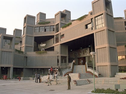
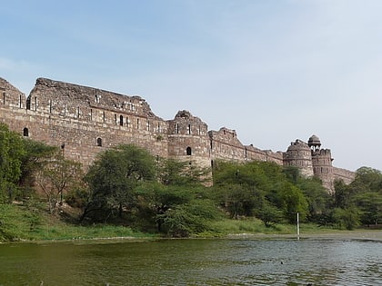
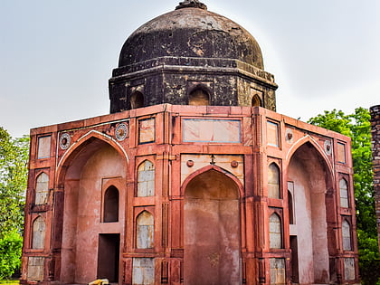
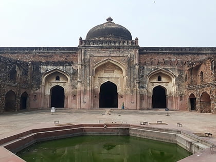
Nearby attractions include: Humayun's Tomb, National Science Centre, Purana Qila, Delhi Golf Club.
Frequently Asked Questions (FAQ)
Which popular attractions are close to Indraprastha Park?
Nearby attractions include Tombs of Battashewala Complex, Delhi (11 min walk), New Nizamuddin Bridge, Delhi (13 min walk), Humayun's Tomb, Delhi (13 min walk), Nila Gumbad, Delhi (15 min walk).
How to get to Indraprastha Park by public transport?
The nearest stations to Indraprastha Park:
Bus
Train
Metro
Bus
- Indraprastha Park • Lines: (-) Tms (3 min walk)
- Nizamuddin Road Bridge • Lines: (-) Tms, (+) Tms (7 min walk)
Train
- Hazrat Nizamuddin Junction (20 min walk)
- Pragati Maidan (30 min walk)
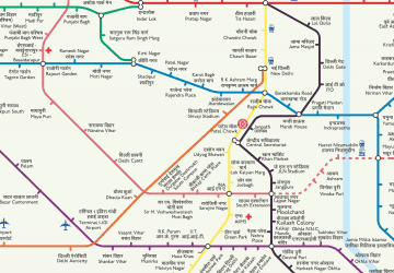
Metro
- Hazrat Nizamuddin • Lines: Pink Line (21 min walk)
- Jangpura • Lines: Violet Line (38 min walk)
 Metro
Metro
