Panambur Beach, Mangalore
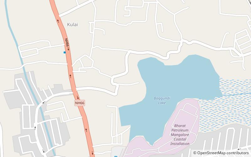
Map
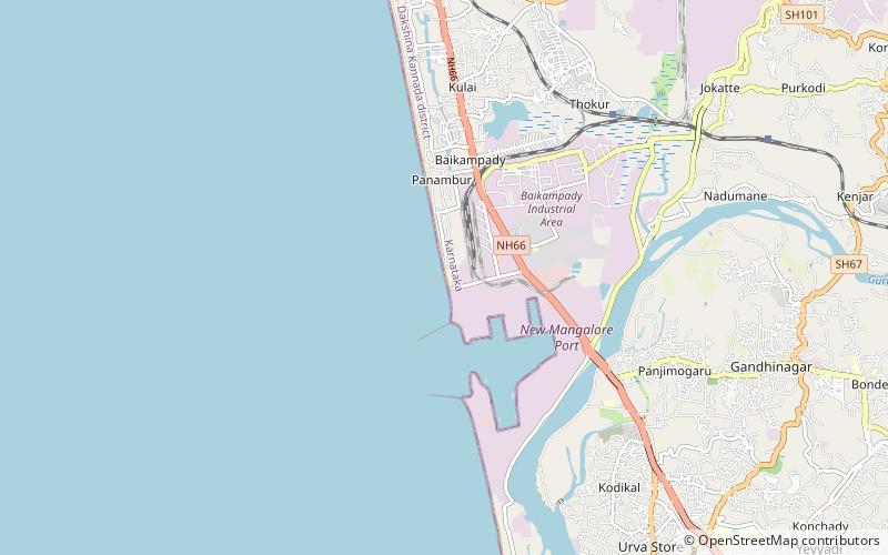
Map

Facts and practical information
Panambur Beach (address: NH-66, Near New Mangalore Port Trust) is a place located in Mangalore (Karnataka state) and belongs to the category of beach, outdoor activities, park.
It is situated at an altitude of 3 feet, and its geographical coordinates are 12°56'20"N latitude and 74°48'13"E longitude.
Among other places and attractions worth visiting in the area are: Panambur (neighbourhood, 29 min walk), Shree Vishnumurthy Temple (temple, 46 min walk), Tannirbhavi Beach (beach, 54 min walk).
Elevation: 3 ft a.s.l.Coordinates: 12°56'20"N, 74°48'13"E
Day trips
Panambur Beach – popular in the area (distance from the attraction)
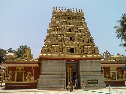
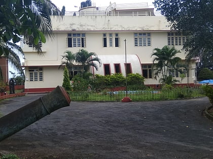
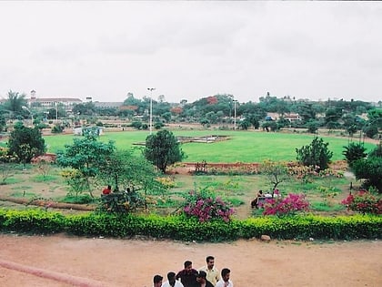
Nearby attractions include: Gokarnanatheshwara Temple, Mangala Stadium, Srimanthi Bhai Memorial Government Museum, Kadri Park.
Frequently Asked Questions (FAQ)
When is Panambur Beach open?
Panambur Beach is open:
- Monday 9 am - 7 pm
- Tuesday 9 am - 7 pm
- Wednesday 9 am - 7 pm
- Thursday 9 am - 7 pm
- Friday 9 am - 7 pm
- Saturday 9 am - 7 pm
- Sunday 9 am - 7 pm

