Kalwa, Mumbai
Map
Map

Facts and practical information
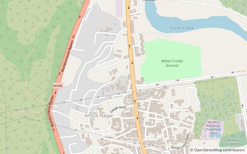
Kalwa is a city situated in Thane district, in the State of Maharashtra, India. The nearest railway station is the Kalwa railway station on the Central Line of the Mumbai Suburban Railway. ()
Local name: कल्वा, ठाणेCoordinates: 19°10'36"N, 73°1'20"E
Address
Mumbai
ContactAdd
Social media
Add
Day trips
Kalwa – popular in the area (distance from the attraction)
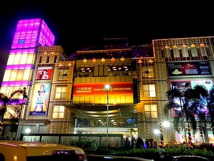
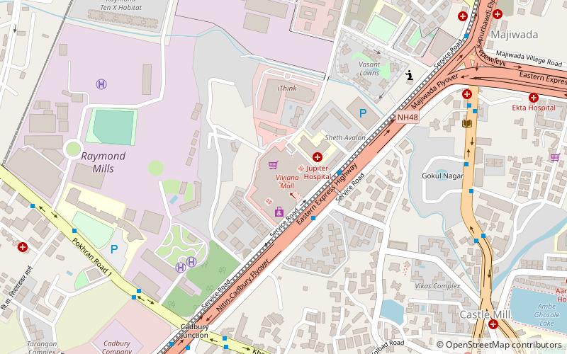
Nearby attractions include: Korum Mall, Dadaji Kondadev Stadium, Viviana Mall, Dombivli.
Frequently Asked Questions (FAQ)
How to get to Kalwa by public transport?
The nearest stations to Kalwa:
Train
Train
- Mumbra (24 min walk)

