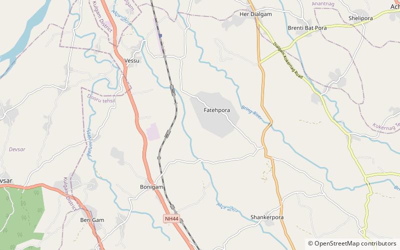
Fatehpora

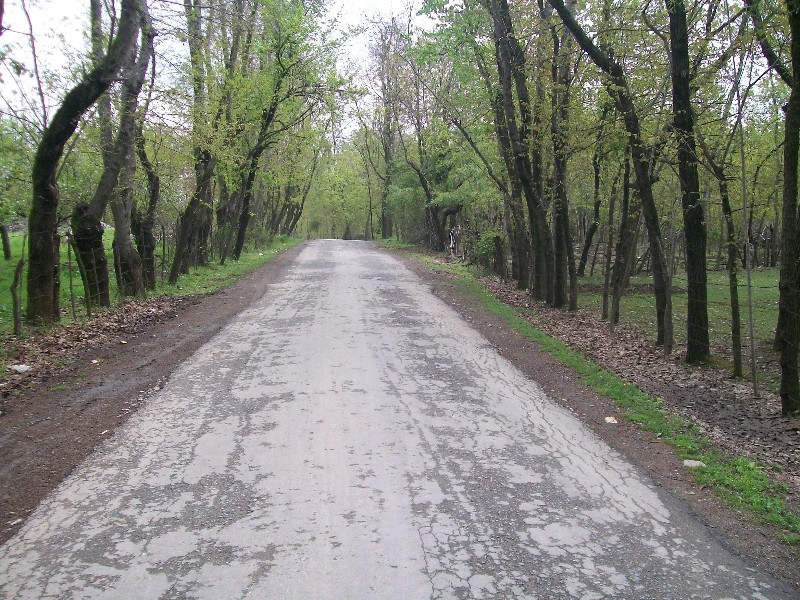
Gallery (2)
Map
Map
Gallery
Facts and practical information
Fatehpora also known as Fateh Pora & Fatehpura, is an economic hub area of Anantnag district in the union territory of Jammu and Kashmir, India. Fatehpora is located at 33.656027°N 75.160375°E / 33.656027; 75.160375. It has an average elevation of 1600 metres above mean sea level. ()
Local name: फ़तेहपोराSettled: 5000 B.C.E.Coordinates: 33°39'0"N, 75°9'0"E
Day trips
Fatehpora – popular in the area (distance from the attraction)
Nearby attractions include: Achabal Gardens.
