Garur
Map

Map

Facts and practical information
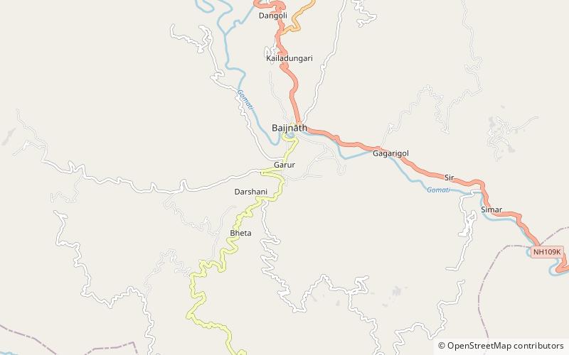
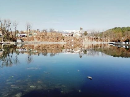
Garur is a town in the Bageshwar district of the state of Uttarakhand, India. ()
Local name: गरुड़, उत्तराखण्डCoordinates: 29°53'52"N, 79°36'50"E
Day trips
Garur – popular in the area (distance from the attraction)
Nearby attractions include: Baijnath Temple, Baijnath Temple Complex.


