Islampur

Gallery (1)
Map
Map
Facts and practical information
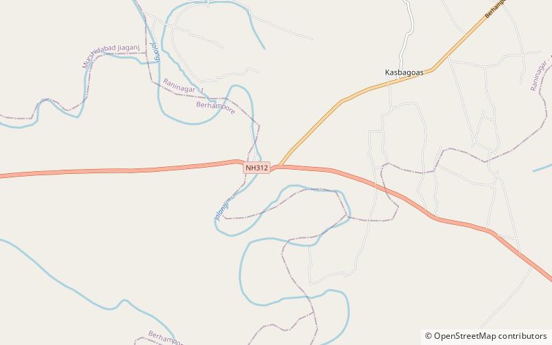
Islampur is a census town in the Raninagar I CD block in the Domkol subdivision of the Murshidabad district in the state of West Bengal, India. ()
Coordinates: 24°9'0"N, 88°28'2"E
Islampur is a census town in the Raninagar I CD block in the Domkol subdivision of the Murshidabad district in the state of West Bengal, India. ()
Where to next? Visit ![]() West Bengal region page or discover the top tourist attractions in India.
West Bengal region page or discover the top tourist attractions in India.