Kanda

Gallery (2)
Map
Map
Gallery
Facts and practical information
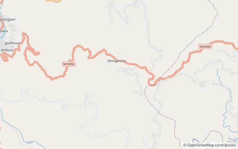
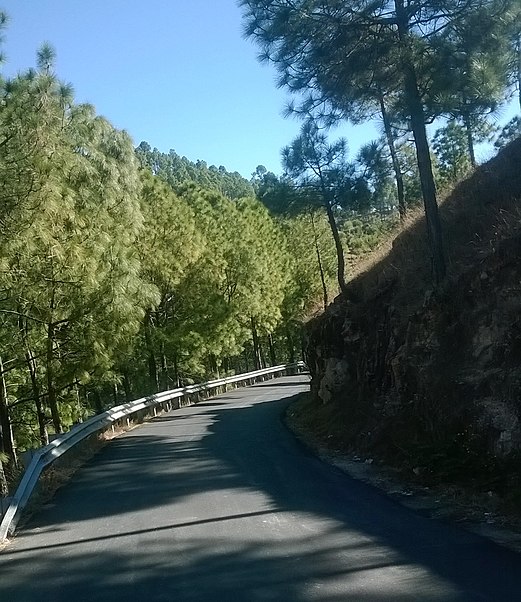
Kanda is a small historic, scenic town and tehsil in Bageshwar district, in the state of Uttarakhand, India. ()
Local name: कांडा तहसीलCoordinates: 29°49'35"N, 79°50'60"E
Day trips
Kanda is a small historic, scenic town and tehsil in Bageshwar district, in the state of Uttarakhand, India. ()
Where to next? Visit ![]() Uttarakhand region page or discover the top tourist attractions in India.
Uttarakhand region page or discover the top tourist attractions in India.

