Mannadi
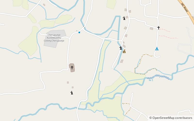
Map

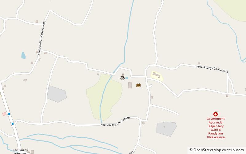
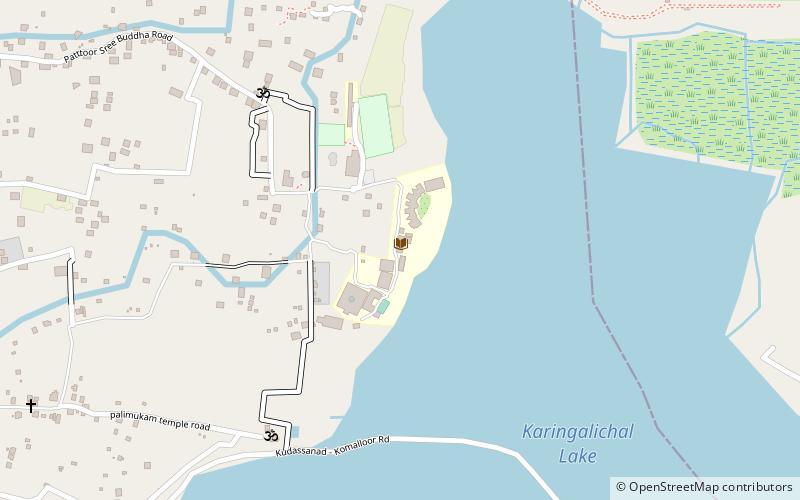
Map

Facts and practical information
Mannadi is a village in Kadampanad grama panchayat at Adoor Taluk, Pathanamthitta District of Kerala, India. ()
Coordinates: 9°8'43"N, 76°43'17"E
Day trips
Mannadi – popular in the area (distance from the attraction)
Nearby attractions include: Thattayil Orippurathu Bhagavathi Temple, St. George's Church, Pandalam, Thumpamon Valiya Pally.


