Wilson Island

Map
Facts and practical information
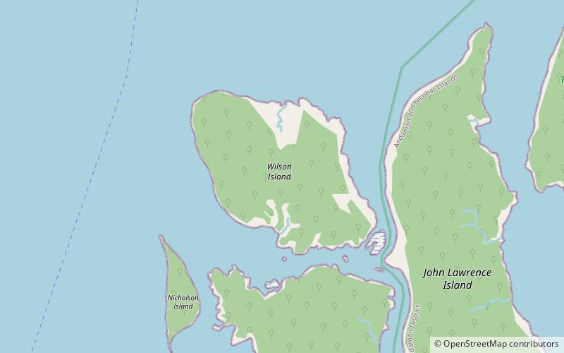
Wilson Island is an island of the Andaman Islands. It belongs to the South Andaman administrative district, part of the Indian union territory of Andaman and Nicobar Islands. the island lies 57 km northeast from Port Blair. ()
Area: 5.52 mi²Maximum elevation: 709 ftArchipelago: Andaman IslandsCoordinates: 12°7'48"N, 92°58'39"E
Day trips
Wilson Island – popular in the area (distance from the attraction)
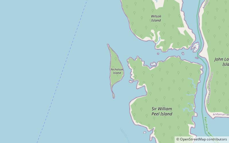
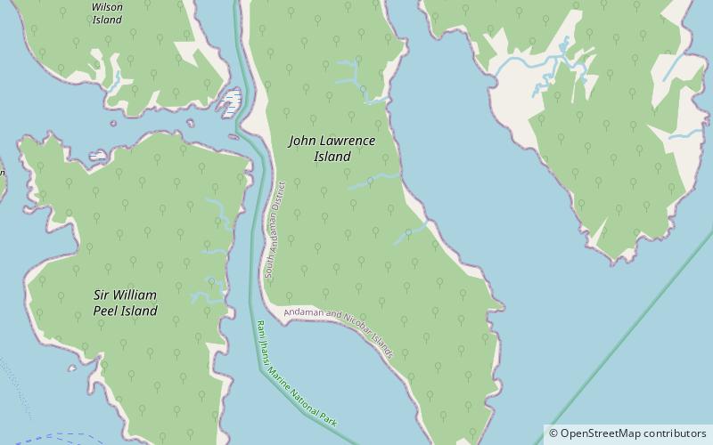
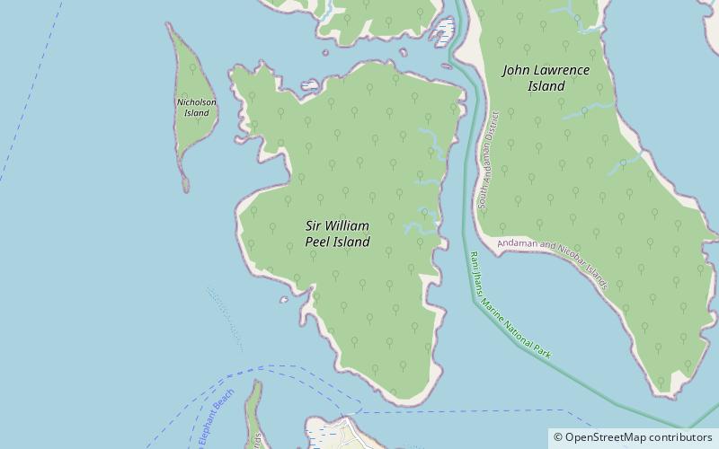
Nearby attractions include: Nicholson Island, John Lawrence Island, Sir William Peel Island.


