Mukutmanipur
Map

Map

Facts and practical information
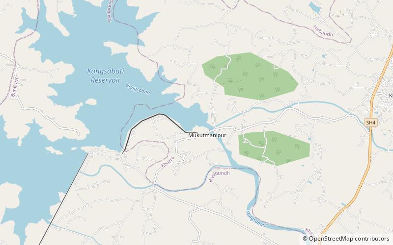
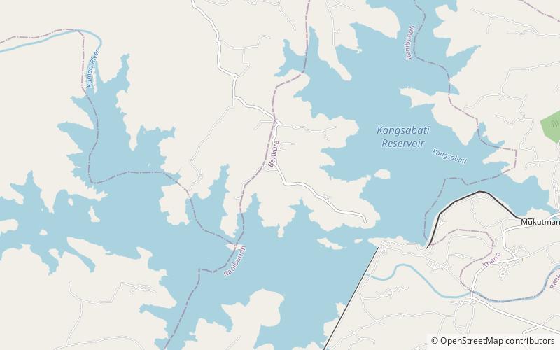
Mukutmanipur is a village in Bankura district of West Bengal, India. It is located at the confluence of the Kangsabati and Kumari rivers close to the Jharkhand border. ()
Coordinates: 22°57'60"N, 86°47'2"E
Day trips
Mukutmanipur – popular in the area (distance from the attraction)
Nearby attractions include: Kangsabati River.

