Mappila Bay, Kannur
Map

Gallery

Facts and practical information
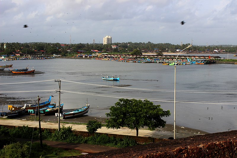
Mappila Bay is a natural harbor situated at Ayikkara in Kannur Municipal Corporation, Kerala state of South India. On one side of the bay is Fort St. Angelo, built by the Portuguese in the 15th century and the other side is the Arakkal Palace. ()
Coordinates: 11°51'24"N, 75°22'33"E
Address
Kannur
ContactAdd
Social media
Add
Day trips
Mappila Bay – popular in the area (distance from the attraction)
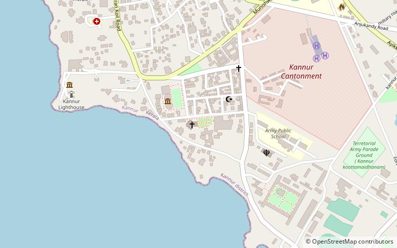
Nearby attractions include: Arakkal Museum, St. Angelo Fort, Roman Catholic Diocese of Kannur, Kannur Cantonment.
Frequently Asked Questions (FAQ)
Which popular attractions are close to Mappila Bay?
Nearby attractions include Arakkal Museum, Kannur (7 min walk), St. Angelo Fort, Kannur (9 min walk), Chalad, Kannur (21 min walk), Kannur Cantonment, Kannur (24 min walk).
How to get to Mappila Bay by public transport?
The nearest stations to Mappila Bay:
Bus
Train
Bus
- Kannur Government Hospital Private Bus Stand (13 min walk)
- Kannur HQ Bus Stand (13 min walk)
Train
- Kannur (31 min walk)


