Guruvayurappan Temple, Hyderabad
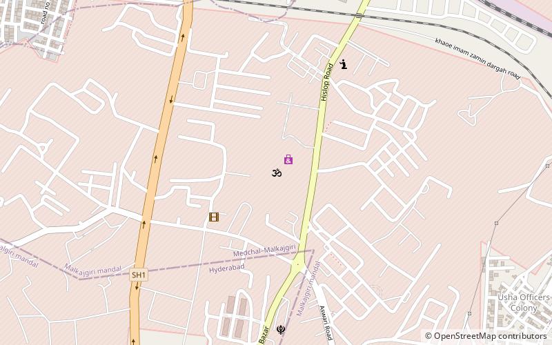
Map
Facts and practical information
Guruvayurappan Temple is a place located in Hyderabad (Telangana state) and belongs to the category of temple.
It is situated at an altitude of 1900 feet, and its geographical coordinates are 17°29'10"N latitude and 78°30'56"E longitude.
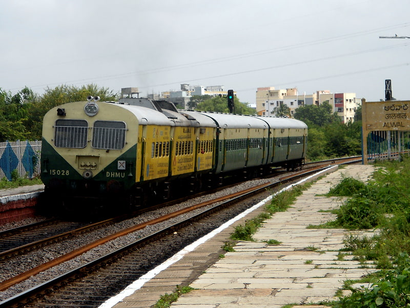
Planning a visit to this place, one can easily and conveniently get there by public transportation. Guruvayurappan Temple is a short distance from the following public transport stations: Cavalry Barracks (train, 18 min walk).
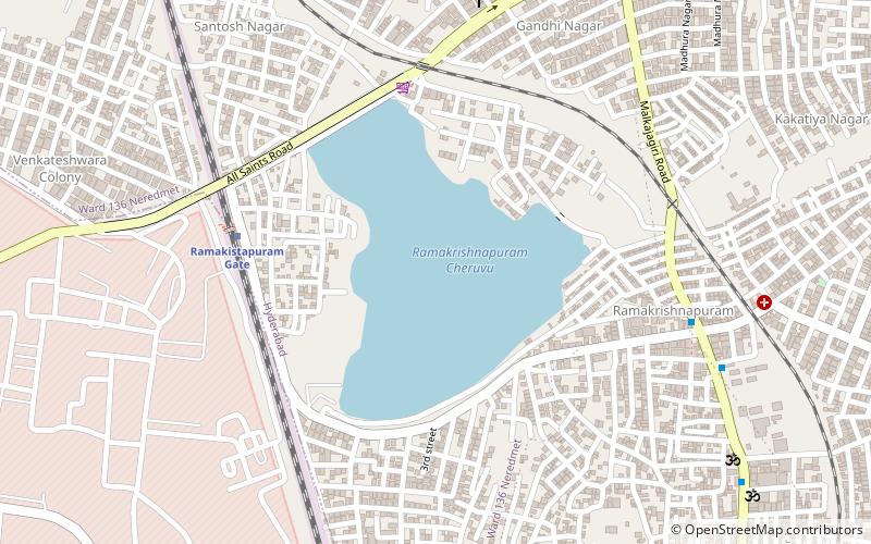
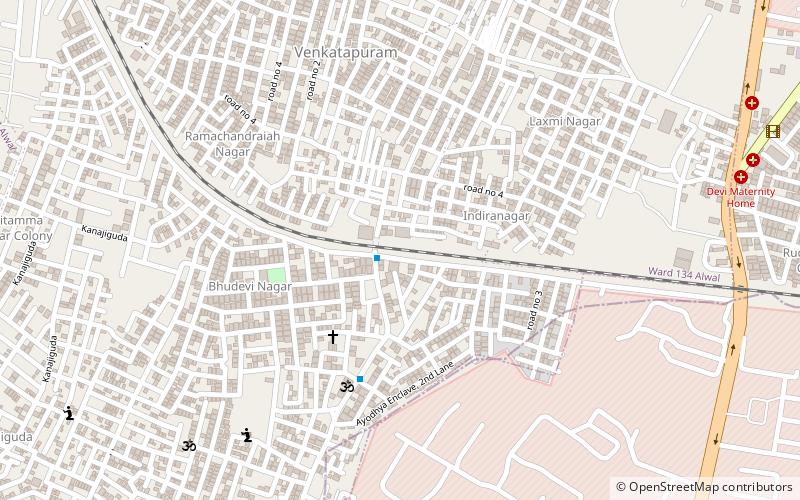
Among other places and attractions worth visiting in the area are: Venkatapuram (neighbourhood, 20 min walk), Hyderabad Kalibari (temple, 27 min walk), Alwal (neighbourhood, 31 min walk).
Coordinates: 17°29'10"N, 78°30'56"E
Address
Hyderabad
ContactAdd
Social media
Add
Getting there by public transportation
Public transportation stops near this location
- Train
 Train
Train
- Calculate routeCavalry Barracks 18 min walk
- Calculate routeAmmuguda 20 min walk
- Calculate routeRamakistapuram Gate 29 min walk
Day trips

Frequently Asked Questions (FAQ)
How to get to Guruvayurappan Temple by public transport?
The nearest stations to Guruvayurappan Temple:
Train
Train
- Cavalry Barracks (18 min walk)
- Ammuguda (20 min walk)