S.K.D.A.V. Government Polytechnic, Rourkela
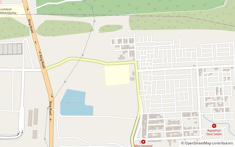
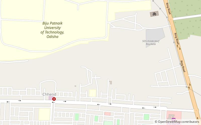
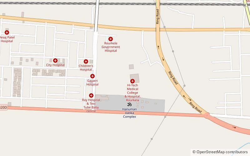
Map
Facts and practical information
S.K.D.A.V. Government Polytechnic is a state government run co-education diploma engineering college located in Basanti Colony of city Rourkela. In the beginning of its inception the Institute was named as S.K.D.A.V Government Polytechnic for Women's which was established in the year 1967 by Mrs. Sushilavati Khosla with the help of D.A.V Trust. ()
Established: 1967 (59 years ago)Coordinates: 22°14'0"N, 84°50'12"E
Day trips


Frequently Asked Questions (FAQ)
Which popular attractions are close to S.K.D.A.V. Government Polytechnic?
Nearby attractions include Utkalmani Gopabandhu Institute of Engineering, Rourkela (15 min walk), Chhend Colony, Rourkela (16 min walk), Biju Patnaik University of Technology, Rourkela (17 min walk), Hi-Tech Medical College, Rourkela (21 min walk).