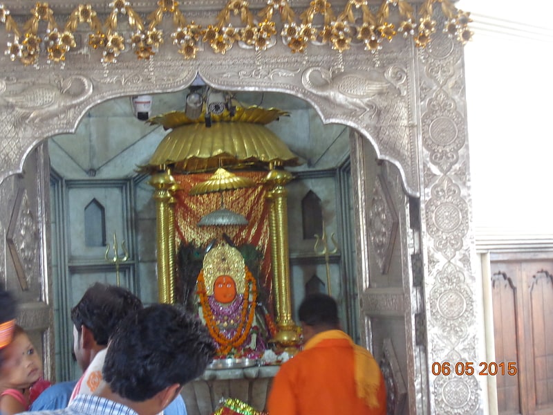
Ram Mandir, Raipur
Map
Facts and practical information
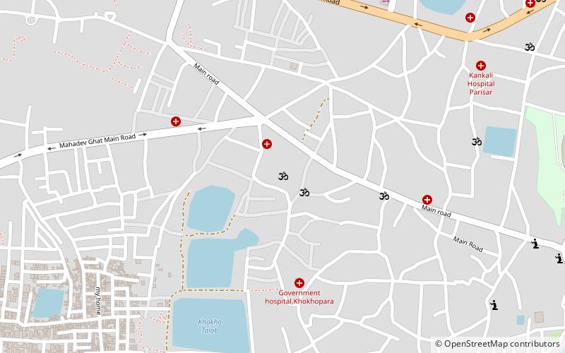
Ram Mandir is a place located in Raipur (Chhattisgarh state) and belongs to the category of temple.
It is situated at an altitude of 978 feet, and its geographical coordinates are 21°14'7"N latitude and 81°37'18"E longitude.
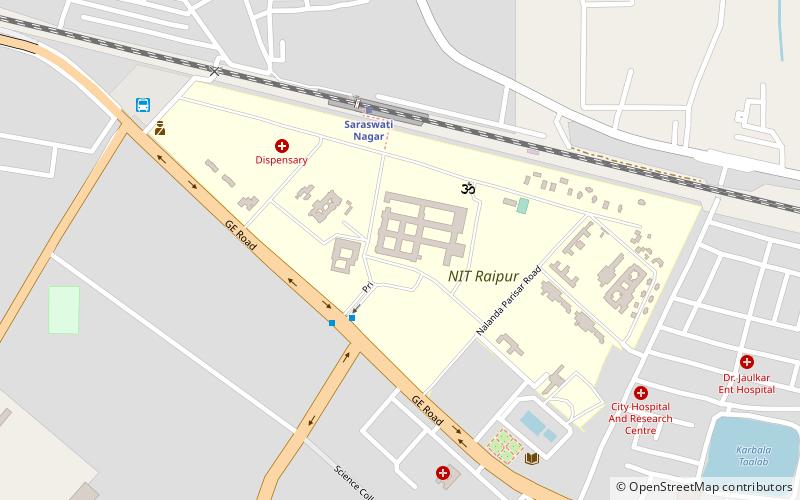
Planning a visit to this place, one can easily and conveniently get there by public transportation. Ram Mandir is a short distance from the following public transport stations: Interstate Bus Station Raipur (bus, 32 min walk), Saraswati Nagar (train, 42 min walk).
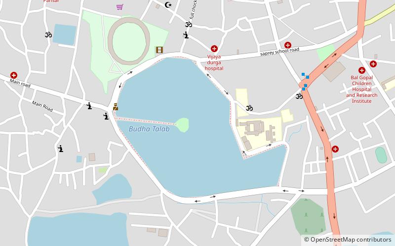
Among other places and attractions worth visiting in the area are: Vivekananda Sarovar (watersports, 21 min walk), Bambleshwari Temple (temple, 24 min walk), Mahaveer Park (park, 26 min walk).
Coordinates: 21°14'7"N, 81°37'18"E
Address
Raipur
ContactAdd
Social media
Add
Getting there by public transportation
Public transportation stops near this location
- Bus
- Train
 Bus
Bus
- Calculate routeInterstate Bus Station Raipur 32 min walk
- Calculate routeSaraswati Nagar 42 min walk
Day trips
Frequently Asked Questions (FAQ)
How to get to Ram Mandir by public transport?
The nearest stations to Ram Mandir:
Bus
Train
Bus
- Interstate Bus Station Raipur (32 min walk)
Train
- Saraswati Nagar (42 min walk)