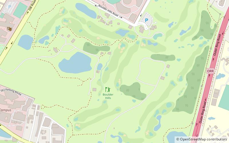
Boulder Hills, Hyderabad
Map
Facts and practical information
Boulder Hills is a place located in Hyderabad (Telangana state) and belongs to the category of golf.
It is situated at an altitude of 1969 feet, and its geographical coordinates are 17°25'44"N latitude and 78°21'6"E longitude.
Planning a visit to this place, one can easily and conveniently get there by public transportation. Boulder Hills is a short distance from the following public transport stations: GPR Quarters (bus, 21 min walk).
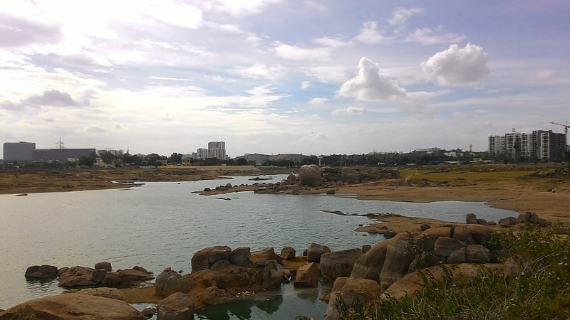
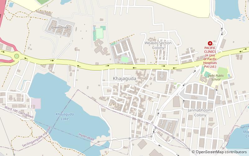
Among other places and attractions worth visiting in the area are: Nanakramguda (neighbourhood, 22 min walk), Khajaguda Lake (lake, 27 min walk), Khajaguda (neighbourhood, 32 min walk).
Coordinates: 17°25'44"N, 78°21'6"E
Address
North Serilingampally (Gachibowli)Hyderabad
ContactAdd
Social media
Add
Getting there by public transportation
Public transportation stops near this location
- Bus
 Bus
Bus
- Calculate routeGPR Quarters 21 min walk
- Calculate routeIndra Nagar 26 min walk
- Calculate routeGachibowli 27 min walk
- Calculate routeDLF Bus stop near JNIB 28 min walk
Day trips


Frequently Asked Questions (FAQ)
How to get to Boulder Hills by public transport?
The nearest stations to Boulder Hills:
Bus
Bus
- GPR Quarters (21 min walk)
- Indra Nagar • Lines: 216M (26 min walk)