Garh Doul, Tezpur

Gallery (2)
Map
Map
Gallery
Facts and practical information
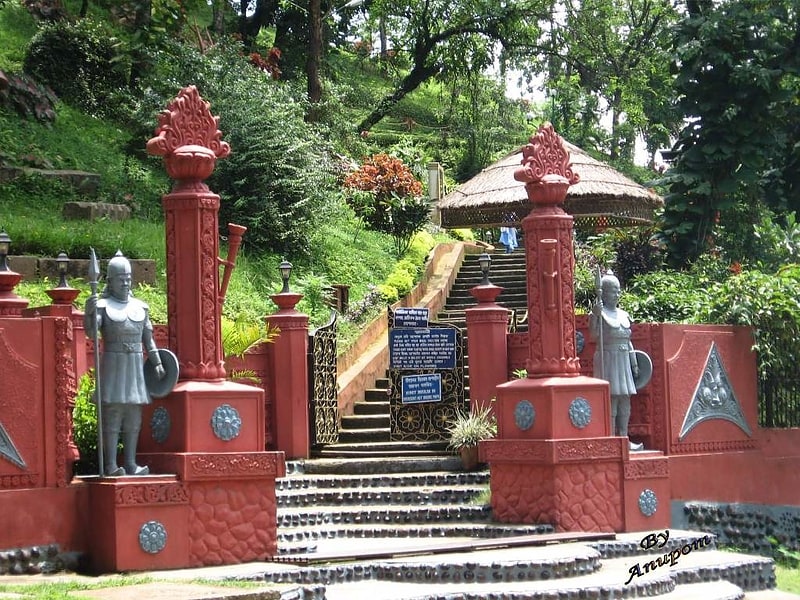
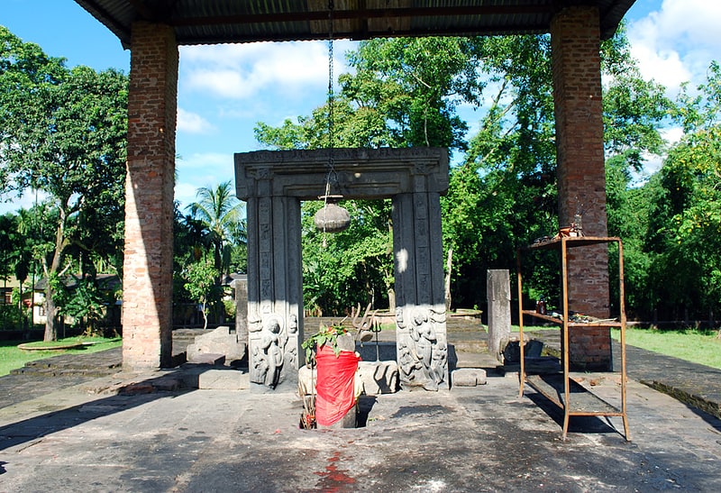
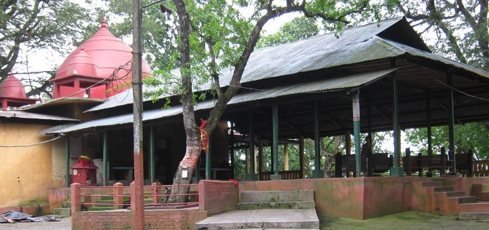
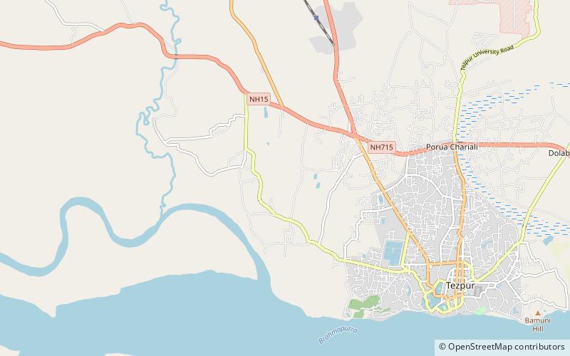
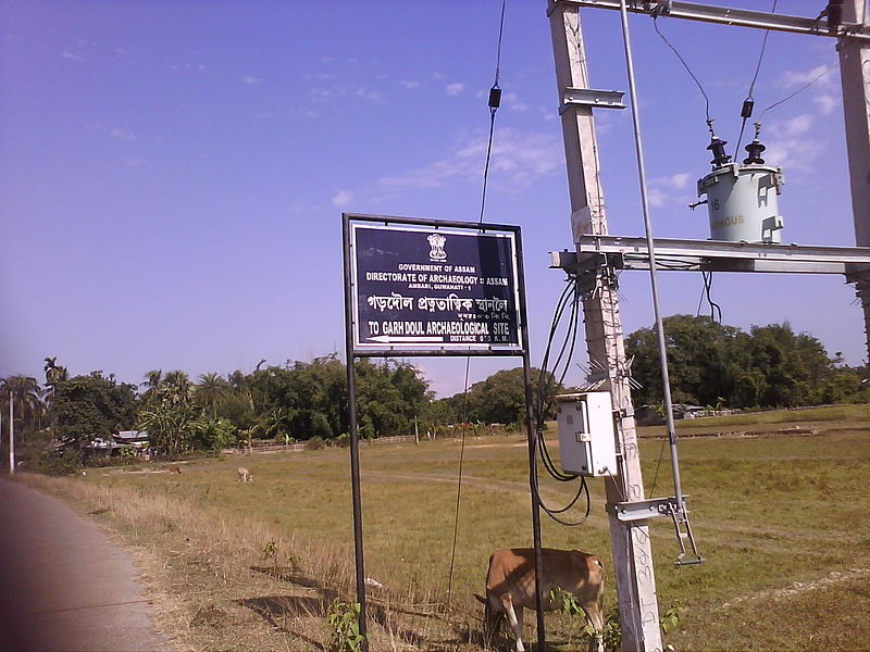
Garh Doul archaeological site is an important State Protected Monument in Assam, India, situated at Tarajan Kumargaon and about 7 kilometres away from Tezpur, Sonitpur district. The archaeological site is listed as an ASI monument under number S-AS-95. This is fortified in all direction reinforced rampart and covers an area of 250×250 m. The site has two brick mounds, which contains the foundation of brick temple plinths. The remains are datable to 7th and 8th century CE. ()
Coordinates: 26°38'46"N, 92°45'19"E
Address
Tezpur
ContactAdd
Social media
Add
Day trips