Barna Dam
Map
Facts and practical information
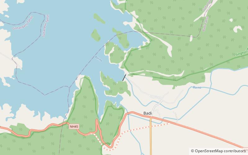
The Barna Dam is a gravity dam on the Barna River in Badi tahsil Raisen district, Madhya Pradesh, India. Barna river is a major tributary of the Narmada River. It is about 100 km east of Bhopal. Dam was constructed by Madhaya Pradesh Water Resource Department. The primary purpose of the dam is irrigation and it was completed in 18.oct.1978. ()
Opened: 1978 (46 years ago)Length: 1417 ftHeight: 156 ftElevation: 1079 ft a.s.l.Coordinates: 23°3'5"N, 78°3'45"E
Location
Madhya Pradesh
ContactAdd
Social media
Add