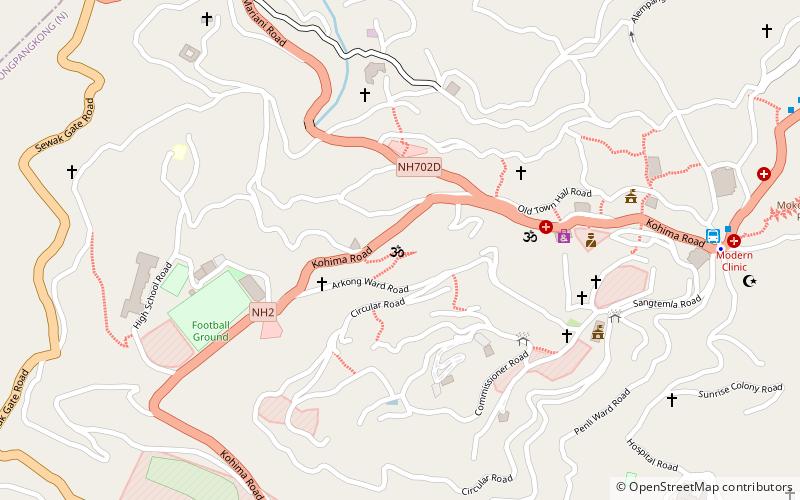
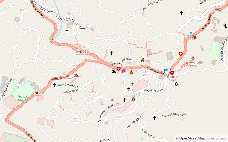
P Shilu Ao Park, Mokokchung
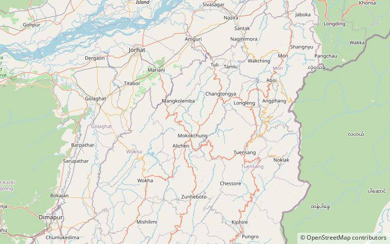
Map
Facts and practical information
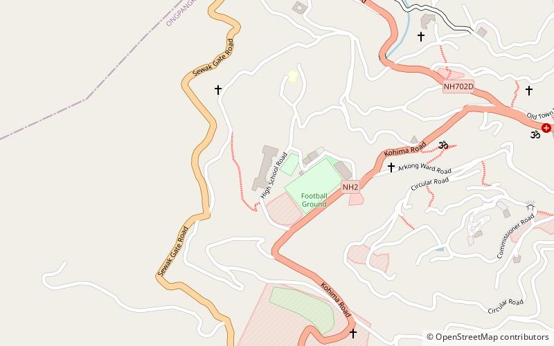
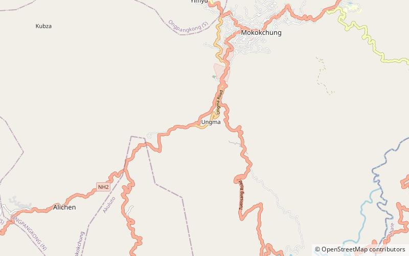
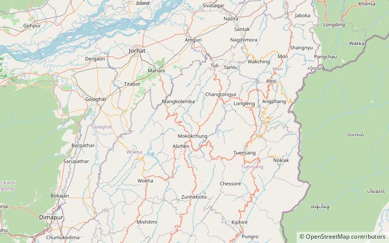
P Shilu Ao Park is a place located in Mokokchung (Nagaland state) and belongs to the category of sightseeing.
It is situated at an altitude of 4199 feet, and its geographical coordinates are 26°19'23"N latitude and 94°30'34"E longitude.
Among other places and attractions worth visiting in the area are: Shiv Mandir (temple, 9 min walk), Lakshmi Narayan Mandir (temple, 13 min walk), Mokokchung district (neighbourhood, 17 min walk).
Coordinates: 26°19'23"N, 94°30'34"E
Address
Mokokchung
ContactAdd
Social media
Add
Day trips
Frequently Asked Questions (FAQ)
Which popular attractions are close to P Shilu Ao Park?
Nearby attractions include Shiv Mandir, Mokokchung (9 min walk), Lakshmi Narayan Mandir, Mokokchung (13 min walk), Mokokchung district, Mokokchung (17 min walk).