Ganga Canal
Map

Map

Facts and practical information
The Ganga Canal of Rajasthan is an irrigation system of canals laid down by Maharaja Ganga Singh of Bikaner in his princely state in the present district of Sri Ganganagar in the early twentieth century. It is fed from the Sutlej River near Firozpur, Punjab, close to the India–Pakistan border, and passes through the Faridkot and Muktsar districts. Faridkot's Jhok Sarkari village lies on its path. ()
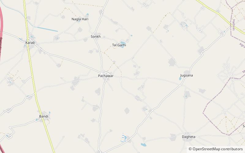
Coordinates: 27°28'0"N, 77°50'60"E
Location
Uttar Pradesh
ContactAdd
Social media
Add
