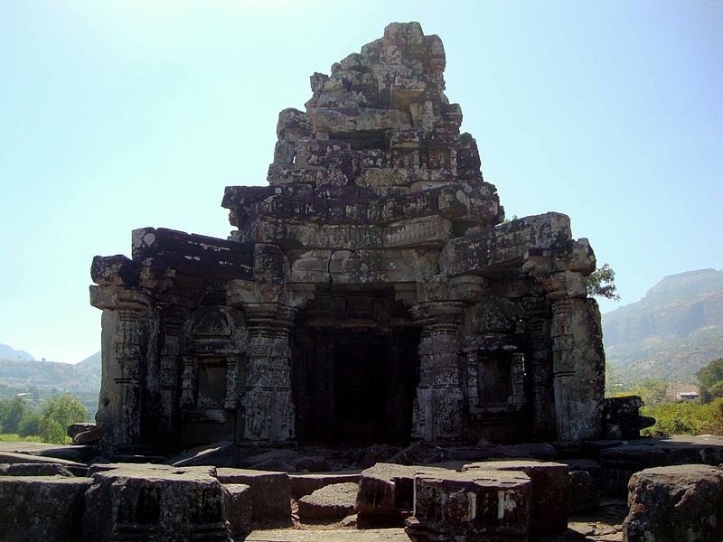
Anjaneri

Gallery (2)
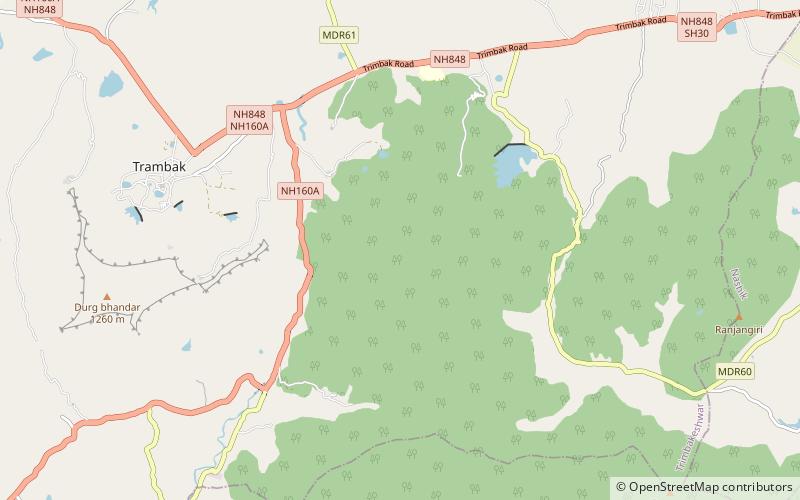
Map
Map
Gallery
Facts and practical information
Anjaneri, one of the forts in the mountain range of Nasik-Trimbakeshwar, is considered to be the birthplace of god Hanuman. Anjaneri is located 20 km away from Nasik by Trimbak Road. It has become a famous trekking spot for local Nashikites, specially in the rainy season. ()
Local name: अंजनेरीElevation: 4199 ftCoordinates: 19°55'19"N, 73°34'17"E
Location
Maharashtra
ContactAdd
Social media
Add
Day trips


