Government Polytechnic Lucknow, Lucknow
Map

Map

Facts and practical information
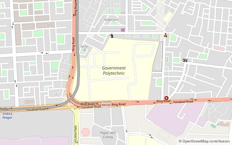
Government Polytechnic Lucknow is an institute of technical education of Uttar Pradesh in India. ()
Coordinates: 26°52'31"N, 80°59'56"E
Day trips
Government Polytechnic Lucknow – popular in the area (distance from the attraction)
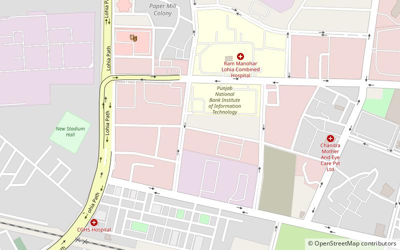
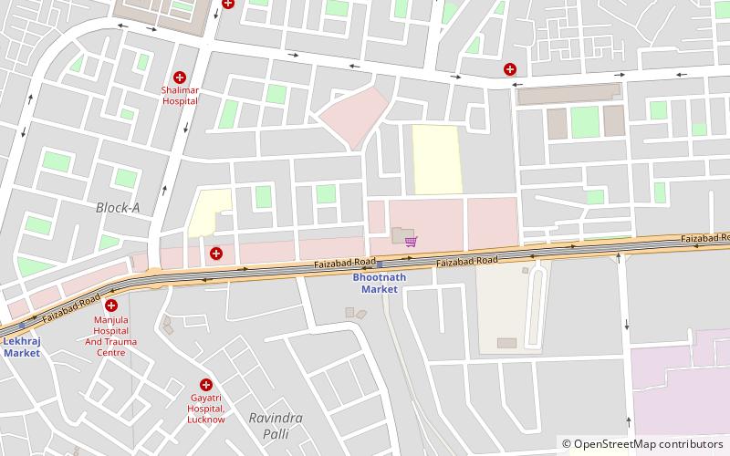
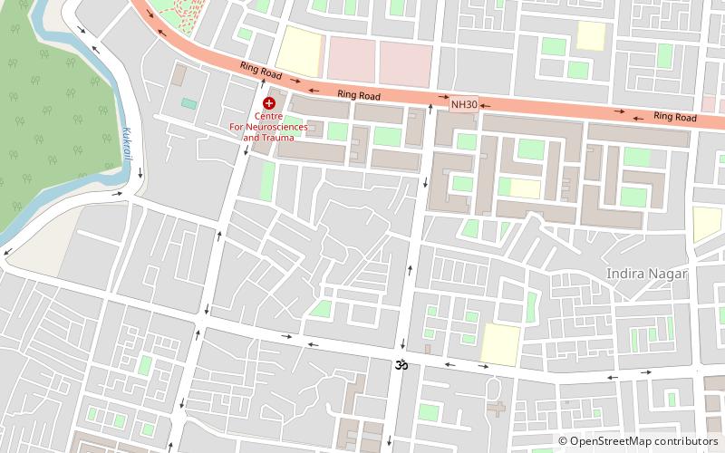
Nearby attractions include: Lohia path, Ujariyaon, Trans-Gomti area, Indira Nagar.
Frequently Asked Questions (FAQ)
How to get to Government Polytechnic Lucknow by public transport?
The nearest stations to Government Polytechnic Lucknow:
Metro
Train
Metro
- Indira Nagar • Lines: 1 (14 min walk)
- Munshipulia • Lines: 1 (23 min walk)
Train
- Gomati Nagar (27 min walk)


