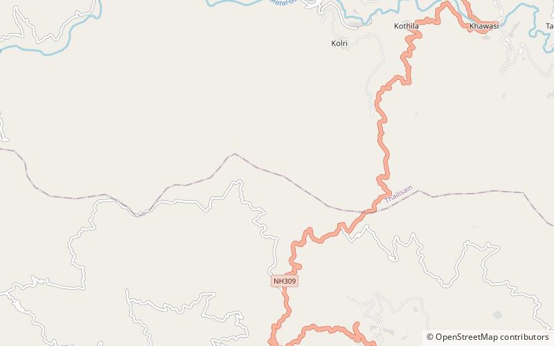
Diba Danda
Map

Map

Facts and practical information
Diba Danda is a peak in the Patti Khatli region of Pauri Garhwal district, Uttarakhand, India. It is 2520 metres high and is a part of the Diba Range, which forms the southern boundary of the Nayar Valley. ()
Elevation: 8268 ftCoordinates: 29°47'27"N, 79°0'47"E
Location
Uttarakhand
ContactAdd
Social media
Add
