Nun Kun


Facts and practical information
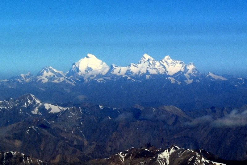
The Nun Kun mountain massif consists of a pair of Himalayan peaks: Nun, 7,135 m and Kun Peak, 7,077 m. separated from it by a snowy plateau of 4 km in length lies a third peak of the massif known as Pinnacle Peak 22,740 ft. Nun is the tallest peak of Jammu and Kashmir of the Himalayan range lying on the Indian side of the Line of Control, with its sister peak Kun lying in Ladakh. It is about 250 km east of Srinagar. The Nun Kun massif is bounded to the north by the Suru valley and the Zanskar range. To the east, it is flanked by the Suru valley and the Pensila, which separates Suru from the Zanskar Valley. To the South lies the Kishtwar National Park and the Krash Nai river. While to the southwest and to the south lie a maze of glaciers, peaks and rivers giving access to Kashmir Valley, Kishtwar and Doda regions. The rocks predominantly are stratified sedimentary rocks composed of shale and sandstone. Metamorphic rocks and granite formations are also seen at places. The area is rich in minerals especially garnets. ()
Jammu and Kashmir

