Konar Dam
Map

Map

Facts and practical information
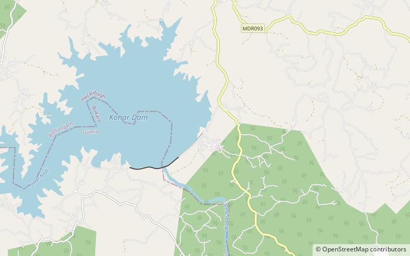
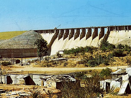
Konar dam is the second of the four multi-purpose dams included in the first phase of the Damodar Valley Corporation. It was constructed across the Konar River, a tributary of the Damodar River in Hazaribagh district in the Indian state of Jharkhand and opened in 1955. The place has scenic beauty and has been developed as a recreational spot. ()
Opened: 15 October 1955 (70 years ago)Length: 2.82 miHeight: 160 ftElevation: 1414 ft a.s.l.Coordinates: 23°56'28"N, 85°46'30"E
Location
Jharkhand
ContactAdd
Social media
Add
