Mana Pass

Gallery (1)
Map
Map
Facts and practical information
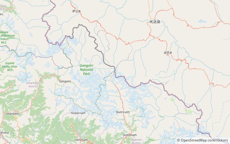
Mana Pass or Chongnyi La is one of the highest vehicle-accessible passes in the world, containing a road constructed in the 2005-2010 period for the Indian military by the Border Roads Organisation and visible on 2011 imagery on visual globe systems such as Google Earth. The well-graded gravel-dirt road is higher on the Indian side than the new road on the Tibetan side, and rises to 5,610 metres on the Indian side of the border, 250 m west of the low point of the 5,632 metres Mana Pass SRTM. ()
Location
Uttarakhand
ContactAdd
Social media
Add