Shahdara, Delhi
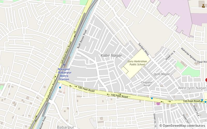
Map
Facts and practical information
Shahdara District is an administrative and revenue district of Delhi, India, situated near the banks of Yamuna river. The district headquarters is Nand Nagari. It is one of the oldest inhabited areas of Delhi and integral to what is known as Purani Dilli. Shahdara district was formed in 2012 and has a collectorate office at Nand Nagri, Delhi. Delhi Metro started its operation in 2002 from Shahdara to Tis Hazari on the Red Line. ()
Local name: शाहदराCoordinates: 28°40'54"N, 77°16'16"E
Address
North East Delhi (Seelam Pur)Delhi
ContactAdd
Social media
Add
Getting there by public transportation
Public transportation stops near this location
- Metro
- Bus
 Metro
Metro
- Calculate routekardampuri 6 min walk
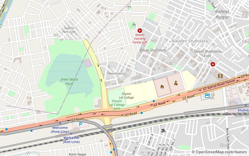
- Calculate routeShyam Lal College Bus Stop 24 min walk
- Calculate routeKanti Nagar Bus Stop 25 min walk
- Calculate routeChajjupur Bus Stop 29 min walk
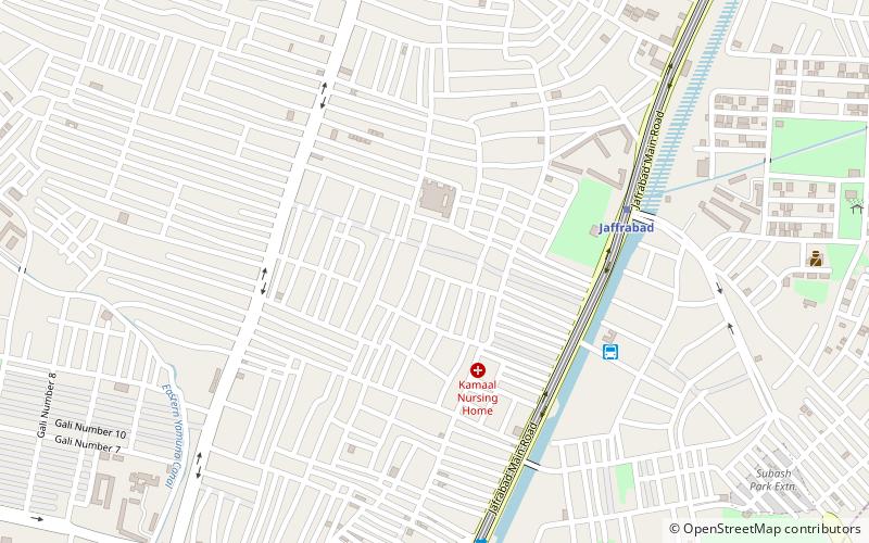
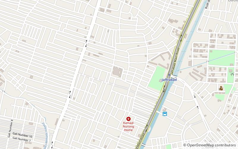
- Calculate routeJaffrabad 7 min walk
- Calculate routeWelcome 20 min walk
- Calculate routeSeelampur 22 min walk
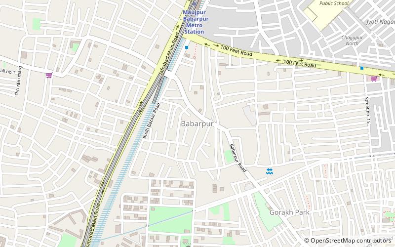
- Calculate routeMaujpur-Babarpur 23 min walk
Maps Metro
Metro
MetroDay trips
Frequently Asked Questions (FAQ)
Which popular attractions are close to Shahdara?
Nearby attractions include Jaffrabad, Delhi (2 min walk), Babarpur, Delhi (17 min walk), Naveen Shahdara, Delhi (20 min walk).
How to get to Shahdara by public transport?
The nearest stations to Shahdara:
Bus
Metro
Bus
- kardampuri (6 min walk)
- Shyam Lal College Bus Stop • Lines: 214Cl, 236Cl, 246Cl, 418A, 443, 623 (24 min walk)
Metro
- Jaffrabad • Lines: Pink Line (7 min walk)
- Welcome • Lines: Pink Line, Red Line (20 min walk)