Padmalaya

Gallery (1)
Map
Map
Facts and practical information
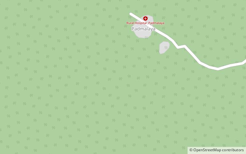
Padmalaya is a village in Erandol taluka of Jalgaon district, Maharashtra, India. It lies 10 km from Erandol and 31.5 km from the district headquarters of Jalgaon. The village is known for the Ganesha temple. A pond is located near this temple. ()
Local name: पद्मालयCompleted: 1912 (114 years ago)Coordinates: 20°52'9"N, 75°23'33"E