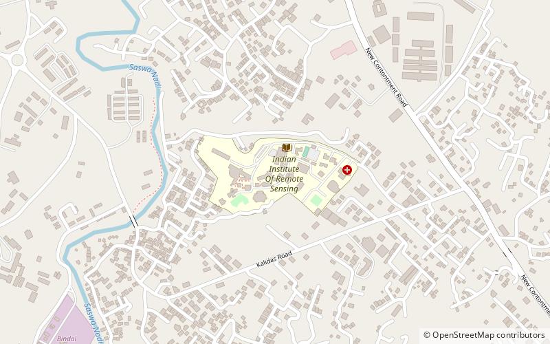
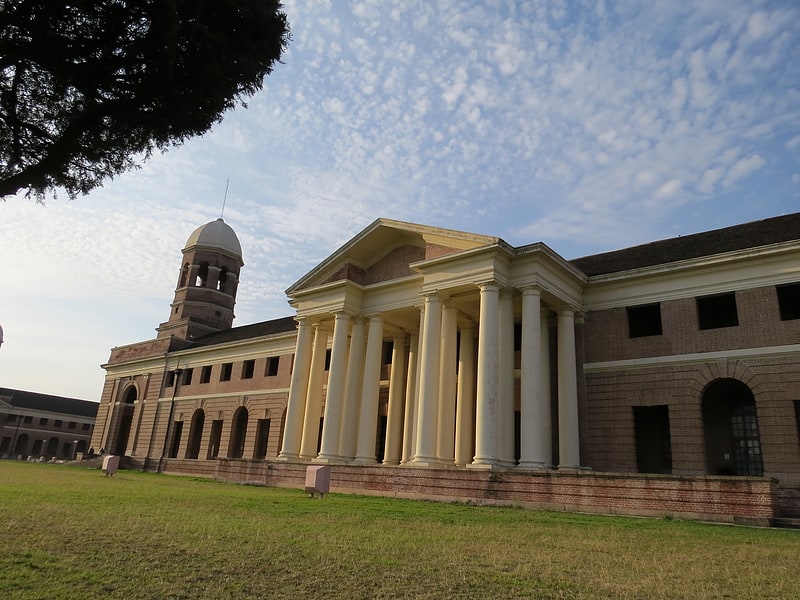
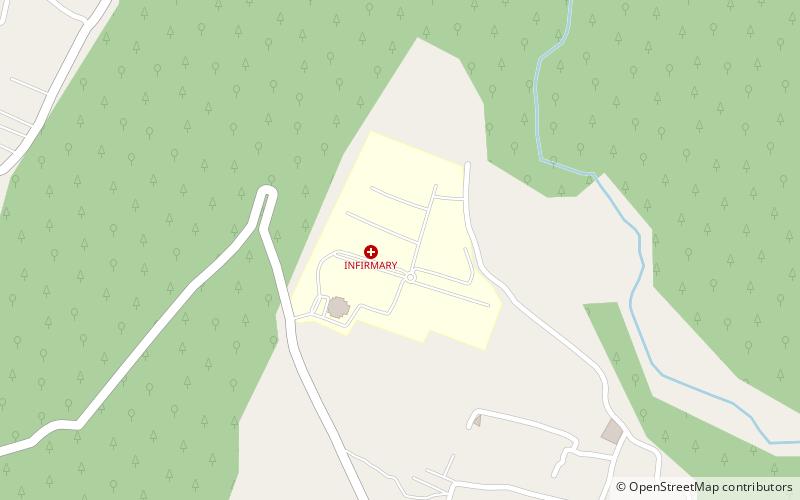
Indian Institute of Remote Sensing, Dehradun
Map
Facts and practical information
The Indian Institute of Remote Sensing is a premier institute for research, higher education and training in the field of Remote Sensing, Geoinformatics and GPS Technology for Natural Resources, Environmental and Disaster Management under the Indian Department of Space, which was established in the year 1966. It is located in the city of Dehradun, Uttarakhand. ()
Local name: भारतीय सुदूर संवेदन संस्थानEstablished: 1966 (60 years ago)Coordinates: 30°20'27"N, 78°2'43"E
Getting there by public transportation
Public transportation stops near this location
- Bus
 Bus
Bus
- Calculate routeShastradhara bus stand 30 min walk
Day trips


Frequently Asked Questions (FAQ)
How to get to Indian Institute of Remote Sensing by public transport?
The nearest stations to Indian Institute of Remote Sensing:
Bus
Bus
- Shastradhara bus stand (30 min walk)