Koyambedu Junction, Chennai
Map
Facts and practical information
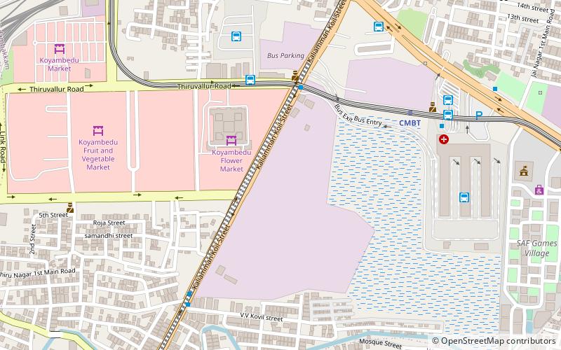
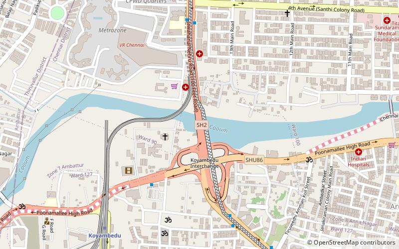
Koyambedu Junction, also called the Koyambedu Roundtana, is an important road junction in Chennai, Tamil Nadu, India. It is located north of the Chennai Mofussil Bus Terminus at the junction of the Inner Ring Road and the Poonamallee High Road in the Koyambedu area/locality. The junction is a part of the Golden Quadrilateral project taken up under the National Highways Development Project. ()
Coordinates: 13°4'40"N, 80°11'56"E
Day trips
Koyambedu Junction – popular in the area (distance from the attraction)
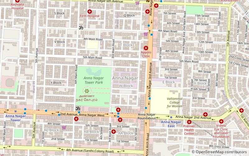
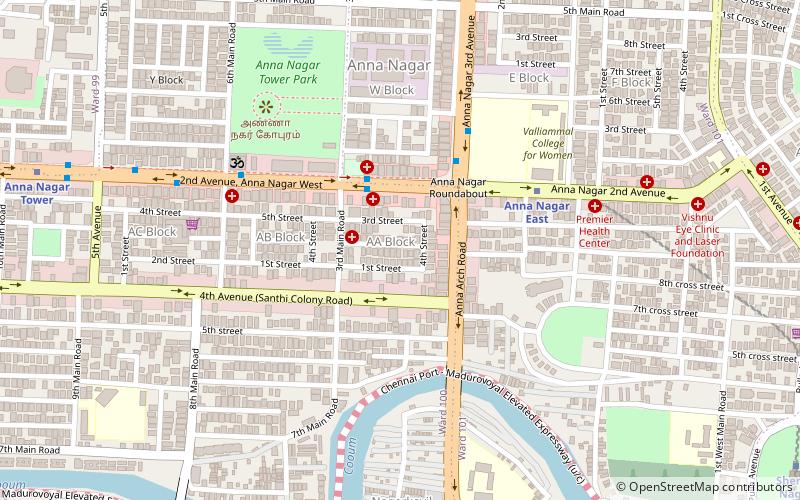
Nearby attractions include: Anna Nagar Ayyappan Koil, Anna Nagar Tower Park, Anna Nagar, VR Chennai.
Frequently Asked Questions (FAQ)
Which popular attractions are close to Koyambedu Junction?
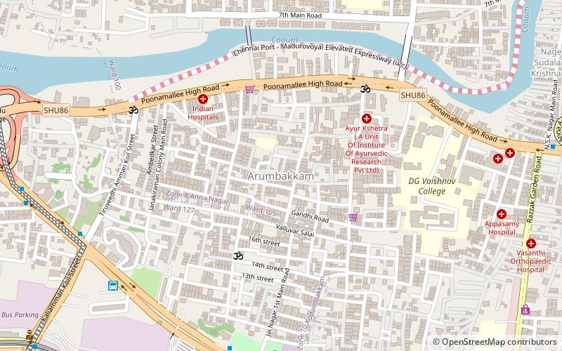
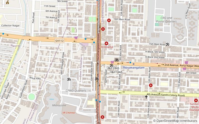
Nearby attractions include Thirumangalam, Ambattur (14 min walk), Koyambedu, Ambattur (16 min walk), Arumbakkam, Ambattur (17 min walk), Kothawal Chavadi, Ambattur (20 min walk).
How to get to Koyambedu Junction by public transport?
The nearest stations to Koyambedu Junction:
Bus
Metro
Bus
- CPWD Quarters Bus Stop • Lines: D70 (8 min walk)
- Marriage Hall Bus Stop • Lines: D70 (8 min walk)
Metro
- Koyambedu Metro Station • Lines: 2 (11 min walk)
- Thirumangalam • Lines: 2 (14 min walk)


