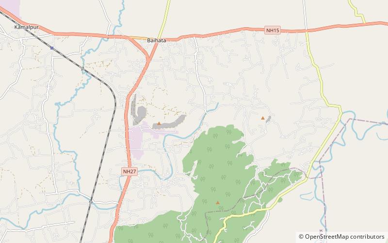
Madan Kamdev

Map
Facts and practical information
Madan Kamdev is an archaeological site in Baihata Chariali, Kamrup, Assam. The place dates back to the 9th and 10th century A.D. The excavation and ruins is dated back to the Pala dynasty of Kamarupa. ()
Coordinates: 26°19'7"N, 91°44'22"E
Location
Assam
Contact
+91 98540 46120
Social media
Add
Day trips
Madan Kamdev – popular in the area (distance from the attraction)
Nearby attractions include: Dirgheshwari temple.
