Chennai Aero Park, Chennai

Map
Facts and practical information
Chennai Aero Park is a proposed aerospace industrial park in Chennai, India. The proposal is supported by the Confederation of Indian Industry, and it is estimated that the park will take up 250 acres of land and create more than 1,00,000 jobs. The Park would attract global players and engage in the design, manufacture and maintenance of all types of aircraft for both civil and military programmes, including training and education. ()
Elevation: 59 ft a.s.l.Coordinates: 13°3'10"N, 80°14'60"E
Address
Nungambakkam (Nakeerar Nagar)Chennai
ContactAdd
Social media
Add
Day trips
Chennai Aero Park – popular in the area (distance from the attraction)
Nearby attractions include: Express Avenue, Spencer Plaza, St. George's Cathedral, Alsa Mall.
Frequently Asked Questions (FAQ)
Which popular attractions are close to Chennai Aero Park?
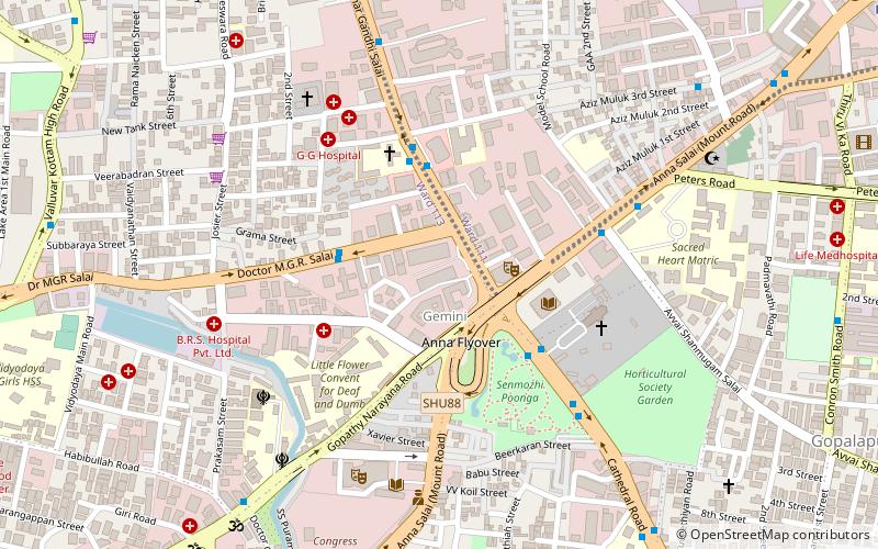
Nearby attractions include Anna Flyover, Chennai (3 min walk), Semmoli Poonga, Chennai (6 min walk), St. George's Cathedral, Chennai (6 min walk), Thousand Lights Mosque, Chennai (10 min walk).
How to get to Chennai Aero Park by public transport?
The nearest stations to Chennai Aero Park:
Metro
Bus
Train
Metro
- Ag-Dms • Lines: 1 (13 min walk)
- Thousand Lights • Lines: 1 (19 min walk)
Bus
- Valluvar Kottam • Lines: 147C (14 min walk)
- Sterling Road • Lines: 147C (21 min walk)
Train
- Nungambakkam (38 min walk)


