Hafeezpet MMTS Station, Hyderabad
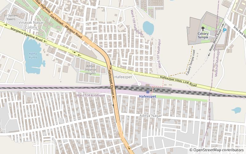
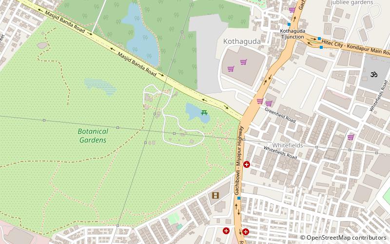
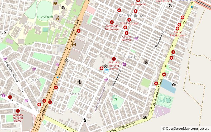
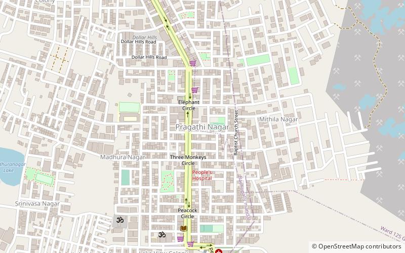
Map
Facts and practical information
Hafeezpet MMTS Station is a place located in Hyderabad (Telangana state) and belongs to the category of neighbourhood.
It is situated at an altitude of 1932 feet, and its geographical coordinates are 17°29'0"N latitude and 78°21'41"E longitude.
Planning a visit to this place, one can easily and conveniently get there by public transportation. Hafeezpet MMTS Station is a short distance from the following public transport stations: Hafeezpet (train, 4 min walk), Miyapur (metro, 31 min walk).
Among other places and attractions worth visiting in the area are: Miyapur (neighbourhood, 24 min walk), Madeenaguda (neighbourhood, 40 min walk), The Forum Sujana (shopping, 44 min walk).
Coordinates: 17°29'0"N, 78°21'41"E
Address
South Serilingampally (Hafeezpet)Hyderabad
ContactAdd
Social media
Add
Getting there by public transportation
Public transportation stops near this location
- Metro
- Train
 Metro
Metro
- Calculate routeHafeezpet 4 min walk
- Calculate routeMiyapur 31 min walk
Day trips


Frequently Asked Questions (FAQ)
How to get to Hafeezpet MMTS Station by public transport?
The nearest stations to Hafeezpet MMTS Station:
Train
Metro
Train
- Hafeezpet (4 min walk)
Metro
- Miyapur • Lines: Red Line (31 min walk)