Thalay Sagar
Map

Gallery

Facts and practical information
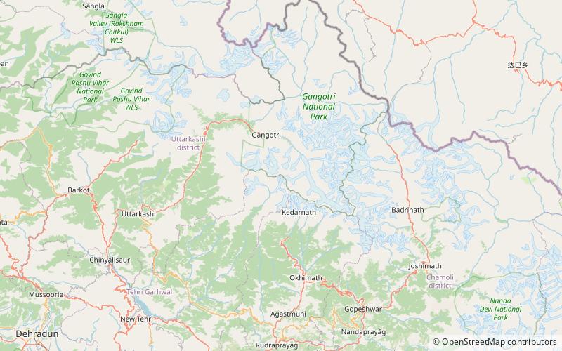
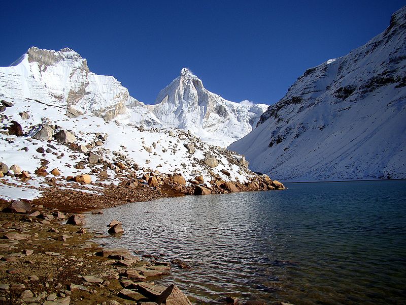
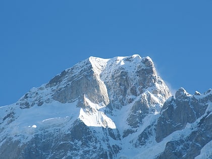
Thalay Sagar is a mountain in the Gangotri Group of peaks in the western Garhwal Himalayas, on the main ridge that lies south of the Gangotri Glacier. It lies in the northern Indian state of Uttarakhand, 10 kilometres southwest of the Hindu holy site of Gaumukh. It is the second highest peak on the south side of the Gangotri Glacier, but it is more notable for being a dramatic rock peak, steep on all sides, and a famed prize for mountaineers. It is adjacent to the Jogen group of peaks, and has the lake Kedartal at its base. ()
Alternative names: First ascent: 1979Elevation: 22651 ftProminence: 3281 ftCoordinates: 30°51'29"N, 78°59'50"E
Location
Uttarakhand
ContactAdd
Social media
Add
Day trips
Thalay Sagar – popular in the area (distance from the attraction)
Nearby attractions include: Gomukh, Meru Peak, Kedartal, Chorabari Glacier.


